Ozeros
Map

Map

Facts and practical information
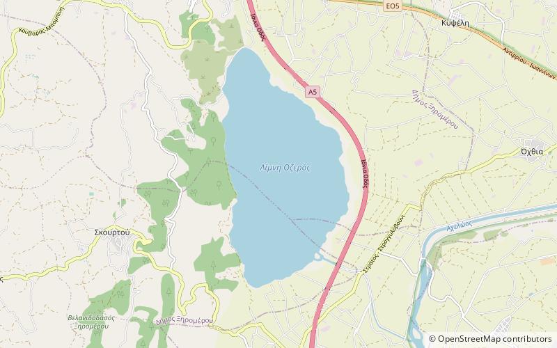
Lake Ozeros is a lake located west of the Greek city of Agrinio. The lake has its own catchment area but is sometimes connected to the waters of the Acheloos river, flowing from the northwest, when the river overflows. The lake has a surface of ca. 10 km2 and an average depth of 8–10 m, but this varies greatly with the season. The road GR-5/E55 runs to the northeastern side. ()
Local name: Οζερός Length: 3.11 miWidth: 9843 ftMaximum depth: 33 ftElevation: 66 ft a.s.l.Coordinates: 38°39'13"N, 21°13'23"E
Location
Peloponnese, Western Greece and the Ionian Islands
ContactAdd
Social media
Add
Day trips
Ozeros – popular in the area (distance from the attraction)
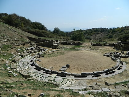
Nearby attractions include: Stratos.

