Athamanika
Map

Map

Facts and practical information
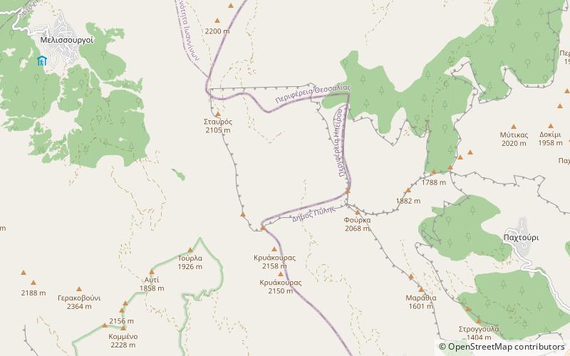
Athamanika or Tzoumerka is a mountain range in northwestern Greece, part of the wider Pindus mountain range. Its highest point is the mountain Kakarditsa, at 2,429 m. Its length is approximately 40 km from north to south and its width is approximately 15 to 20 km from east to west. The only major road crossing the Athamanika is the Greek National Road 30. ()
Location
Epirus and Western Macedonia
ContactAdd
Social media
Add
Day trips
Athamanika – popular in the area (distance from the attraction)
Nearby attractions include: Pramanta, Neraida.


