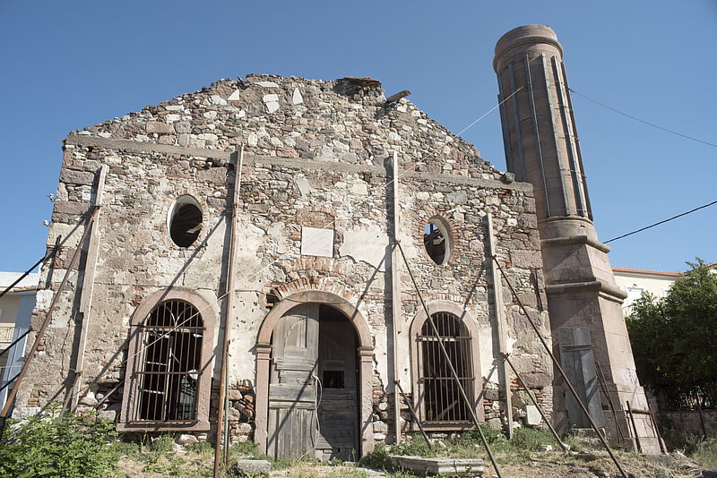
Roman Aqueduct, Lesvos

Gallery (1)
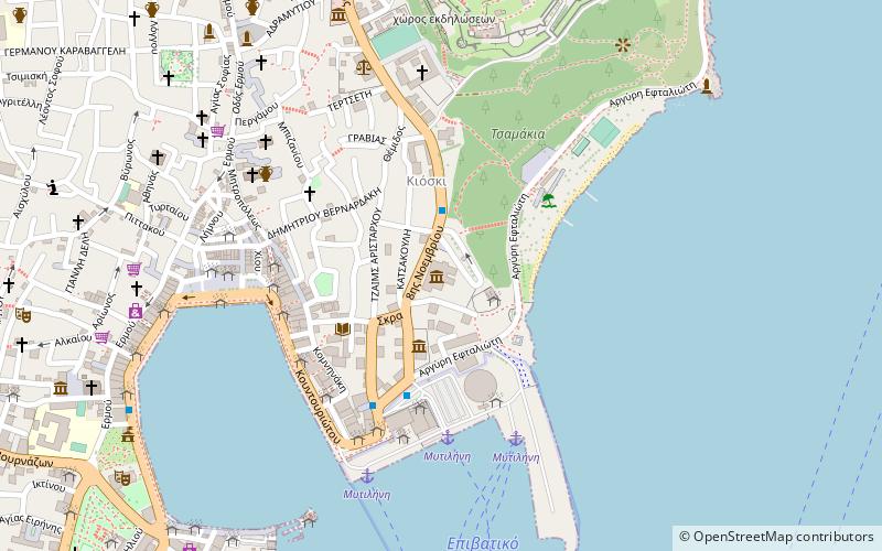
Map
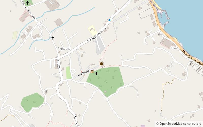
Map
Facts and practical information
Roman Aqueduct is a place located in Lesvos (Aegean decentralized administration) and belongs to the category of sightseeing.
It is situated at an altitude of 128 feet, and its geographical coordinates are 39°7'34"N latitude and 26°30'53"E longitude.
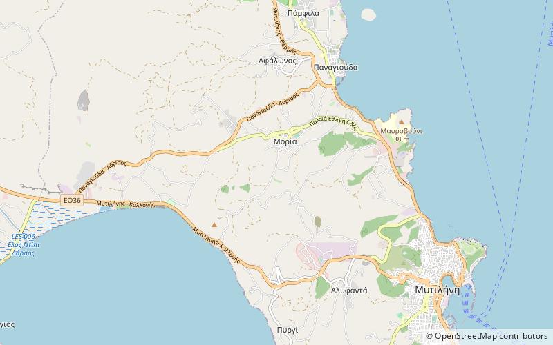
Among other places and attractions worth visiting in the area are: Kalamiaris palm forest (forest, 51 min walk), Yeni Mosque (mosque, 59 min walk), Valide Mosque, Mytilene (mosque, 60 min walk).
Coordinates: 39°7'34"N, 26°30'53"E
Address
Lesvos
ContactAdd
Social media
Add
Day trips