Pastra Mountain

Map
Facts and practical information
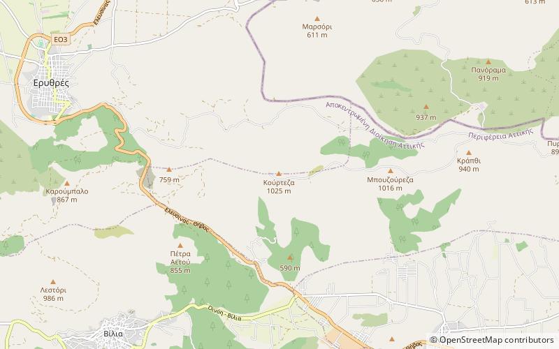
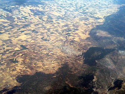
The Pastra is a mountain in West Attica, Greece, near the border with Boeotia. It is the eastern extension of the Cithaeron mountain range. Its highest peak, named Petrogeraki, is 1016 m high. The nearby peak Kourtiza is 1015 m high. Its morphology is defined by steep slopes and four deep gorges on the northeast side. Its flora consists of brushwood, holm oaks, pine trees, and arbutus. Its fauna includes hares, foxes, blackbirds, and partridges. ()
Local name: Όρος ΠάστραElevation: 3333 ftCoordinates: 38°11'55"N, 23°22'41"E
Location
Attica
ContactAdd
Social media
Add
Day trips
Pastra Mountain – popular in the area (distance from the attraction)
Nearby attractions include: Zoodochos Pigi Church, Vilia, Erythres, Oinoi.


