Sergoula

Map
Facts and practical information
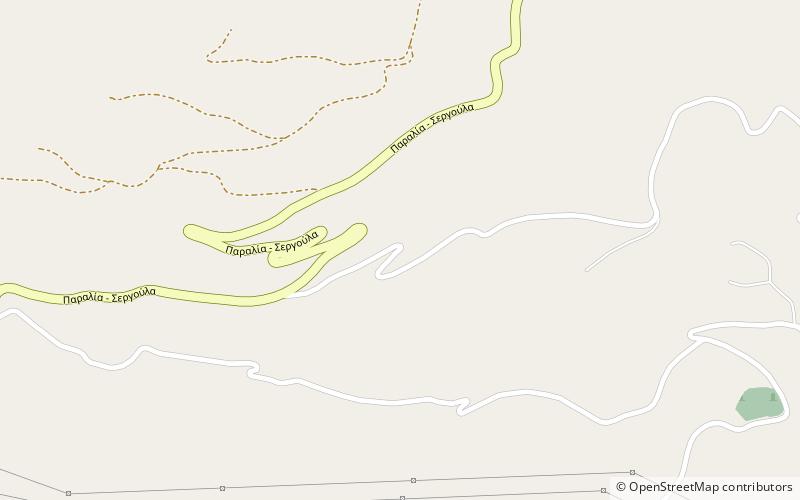
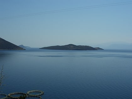
Sergoula is a settlement and a community of the municipality of Dorida, Phocis in Greece. The community Sergoula consists of three villages: Sergoula, Paralia Sergoulas and Palaiochori. Sergoula was established around 17th century, and its original name was Miloi. Sergoula was an independent community between 1912 and 1997, when it became part of the municipality Efpalio. The village Paralia Sergoulas is situated on the Gulf of Corinth coast, below the mountain village Sergoula. The Greek National Road 48 passes through Paralia Sergoulas. ()
Local name: Σεργούλα ΦωκίδαςCoordinates: 38°24'0"N, 22°2'60"E
Location
Thessaly and Central Greece
ContactAdd
Social media
Add
Day trips
Sergoula – popular in the area (distance from the attraction)
Nearby attractions include: Trizonia island.
