Lake Lysimachia
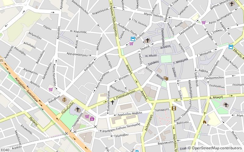
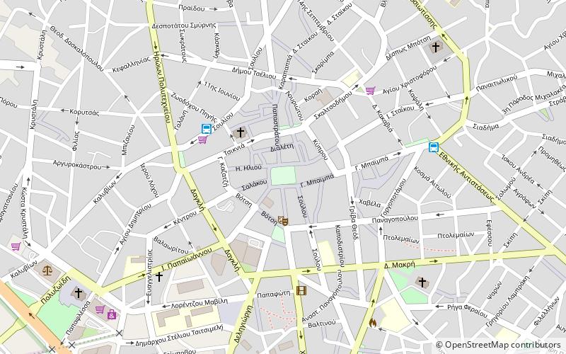
Map
Gallery
Facts and practical information
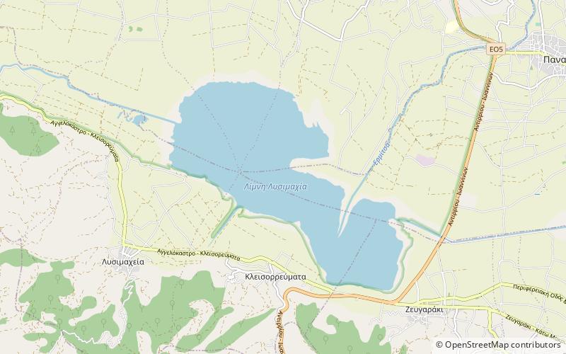
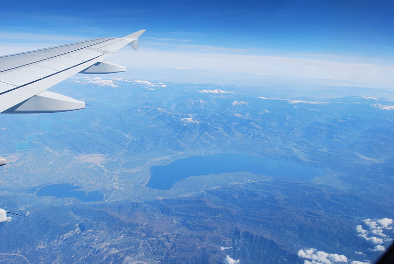
Lysimachia is a lake in Aetolia-Acarnania, western Greece. Its area is 13.2 km², its depth is around 9 m. It is fed by the small river Ermitsa, and by a canal that connects the lake with the larger Lake Trichonida to its east. Its outflow is the river Dimikos, which drains into the river Acheloos. The city of Agrinio lies 6 km to the northeast. ()
Local name: Λίμνη Λυσιμαχία Area: 5.1 mi²Length: 3.42 miWidth: 8202 ftMaximum depth: 30 ftElevation: 36 ft a.s.l.Coordinates: 38°33'41"N, 21°22'34"E
Location
Peloponnese, Western Greece and the Ionian Islands
ContactAdd
Social media
Add
Day trips
Lake Lysimachia – popular in the area (distance from the attraction)
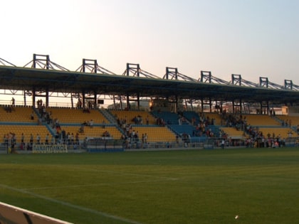
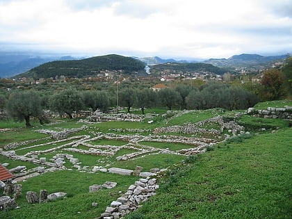
Nearby attractions include: Archaeological Museum of Agrinio, Aetolia-Acarnania Folklore Museum, Dimokratias Square, Panetolikos Stadium.


