Keros
Map

Gallery

Facts and practical information
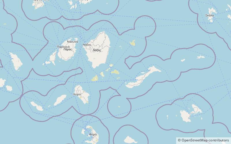
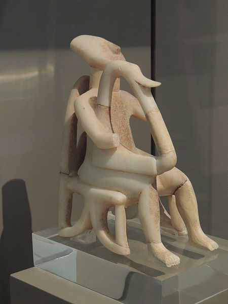
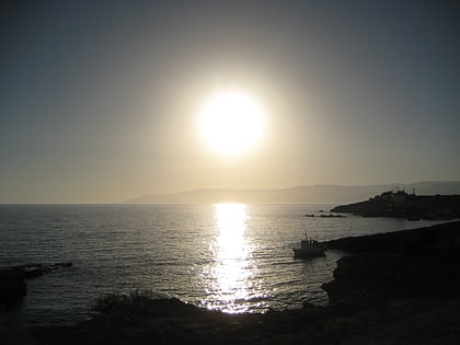
Keros (Greek: Κέρος; anciently, Keria or Kereia is an uninhabited Greek island in the Cyclades about 10 km southeast of Naxos. Administratively it is part of the community of Koufonisia. It has an area of 15 km2 and its highest point is 432 m. It was an important site to the Cycladic civilization that flourished around 2500 BC. It is now forbidden to land in Keros. ()
Local name: Κέρος Κυκλάδων Area: 5.79 mi²Maximum elevation: 1417 ftArchipelago: CycladesCoordinates: 36°53'24"N, 25°38'55"E
Location
Aegean
ContactAdd
Social media
Add
Day trips
Keros – popular in the area (distance from the attraction)
Nearby attractions include: Koufonisi.

