Vrontous

Gallery (2)
Map
Map
Gallery
Facts and practical information
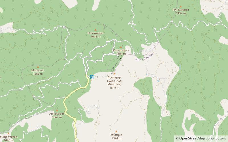
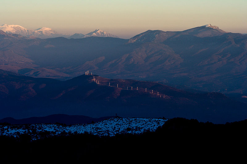
Vrontous is a mountain range in the northeastern Serres and the westernmost Drama regional units in Greece. Its highest peak is the Ali Babas at 1,849 m elevation. Other notable peaks are the Kour Lof, Mavro vouno, Siderovouni and Sarligia. It is a densely forested and sparsely populated mountain range. It stretches between the village Vamvakofyto in the southwest and Perithori in the northeast, over a length of about 35 km. The nearest mountains are the Slavyanka/Orvilos to the north and the Menoikio to the southeast. ()
Location
Macedonia and Thrace
ContactAdd
Social media
Add
Day trips

