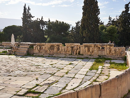
Brauroneion, Athens
Map
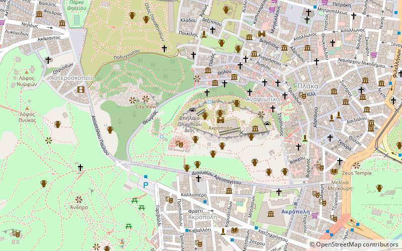
Map

Facts and practical information
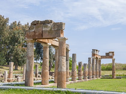
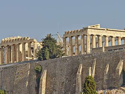
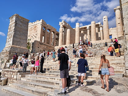
The Brauroneion was the sanctuary of Artemis Brauronia on the Athenian Acropolis, located in the southwest corner of the Acropolis plateau, between the Chalkotheke and the Propylaea in Greece. It was originally dedicated during the reign of Peisistratos. Artemis Brauronia, protector of women in pregnancy and childbirth, had her main sanctuary at Brauron, a demos on the east coast of Attica. ()
Local name: Βραυρώνιον Unesco: from 1987Architectural style: Ancient Greek architectureCoordinates: 37°58'17"N, 23°43'32"E
Address
Αθήνα 1 (Ακρόπολης)Athens
ContactAdd
Social media
Add
Day trips
Brauroneion – popular in the area (distance from the attraction)
Nearby attractions include: Acropolis, Parthenon, Temple of Athena Nike, Odeon of Herodes Atticus.
Frequently Asked Questions (FAQ)
Which popular attractions are close to Brauroneion?
Nearby attractions include Pelasgic wall, Athens (1 min walk), Athena Promachos, Athens (1 min walk), Propylaea, Athens (1 min walk), Temple of Athena Nike, Athens (1 min walk).
How to get to Brauroneion by public transport?
The nearest stations to Brauroneion:
Metro
Trolleybus
Bus
Tram
Train
Metro
- Akropoli • Lines: Μ2 (8 min walk)
- Monastiraki • Lines: Μ1, Μ3 (9 min walk)
Trolleybus
- Αγιοσ Ιωαννησ • Lines: 1, 15, 5 (9 min walk)
- Άγιος Ιωάννης • Lines: 1, 15, 5 (9 min walk)
Bus
- Μοναστηρακι • Lines: 025, 026, 027, 035, 227, 500 (10 min walk)
- Μητροπολη • Lines: 025 (10 min walk)
Tram
- Βουλιαγμένης • Lines: Τ4, Τ5 (13 min walk)
- Fix • Lines: Τ4, Τ5 (13 min walk)
Train
- Rouf (30 min walk)
- Lycabettus Hill Funicular - Lower Station (31 min walk)
