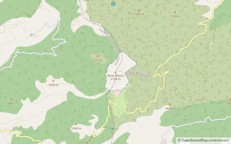
Verno
Map

Map

Facts and practical information
Verno or Vitsi is a forested mountain range in the southern part of the Florina and the northeastern part of the Kastoria regional units in Western Macedonia, northern Greece. The elevation of its highest peak, Verno, is 2,128 m. It stretches from the village Trivouno in the northwest to Kleisoura in the southeast, over a length of about 30 km. The nearest mountains are the Askio to the southeast, the Baba to the north and the northern Pindus to the southwest. It is drained towards the river Sakoulevas to the northeast, and towards the Aliakmonas and Lake Kastoria to the southwest. ()
Location
Epirus and Western Macedonia
ContactAdd
Social media
Add
