Sotira

Map
Facts and practical information
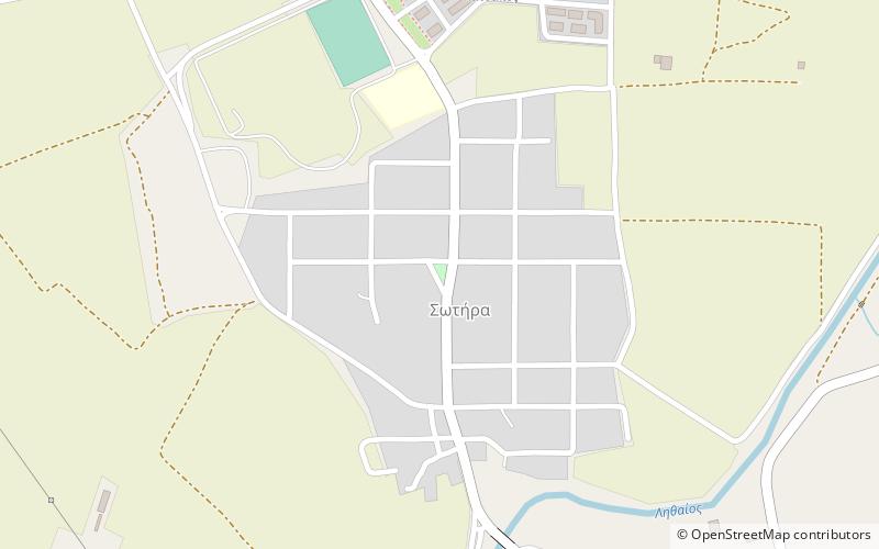
Sotira is a village located 4 km north of Trikala in the southcentral part of the Trikala regional unit, Greece. The settlement, which became part of the municipality of Trikala in 1883, was dissolved in 2011. Sotira had a population of 562 in 2001. ()
Local name: Σωτήρα ΤρικάλωνCoordinates: 39°35'12"N, 21°45'11"E
Location
Thessaly and Central Greece
ContactAdd
Social media
Add
Day trips
Sotira – popular in the area (distance from the attraction)
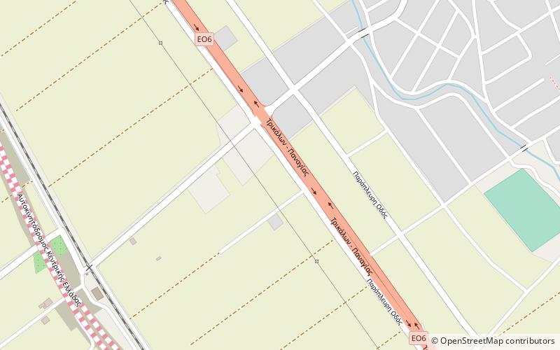
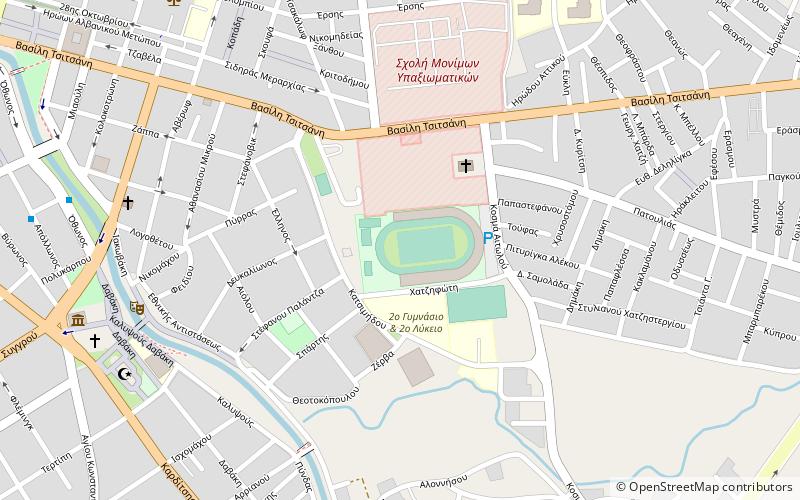
Nearby attractions include: Trikala Castle, Osman Shah Mosque, Vasiliki, Trikala Municipal Stadium.


