Megalakkos
Map
Facts and practical information
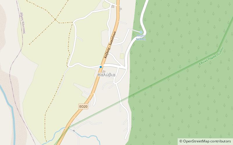
The Megalakkos is a rock shelter located north of the village of Kleidonia in the Ioannina regional unit and around 500 m east of the Kleidi Cave, northwestern Greece. It sits atop the northern bank of the Voidomatis river valley. ()
Local name: Σπήλαιο ΜεγάλακκοςCoordinates: 39°58'51"N, 20°40'2"E
Location
Epirus and Western Macedonia
ContactAdd
Social media
Add
Day trips
Megalakkos – popular in the area (distance from the attraction)
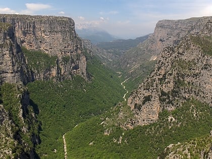
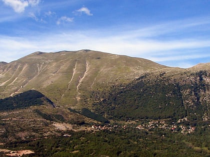
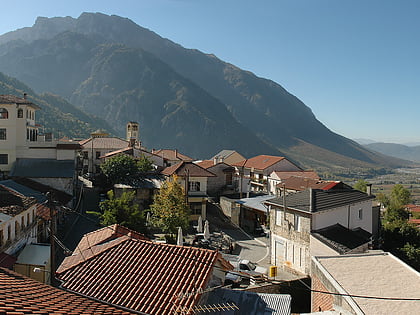
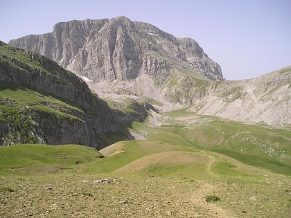
Nearby attractions include: Vikos Gorge, Pindus, Kleidi Cave, Konitsa.
