Agia Varvara
Map

Map

Facts and practical information
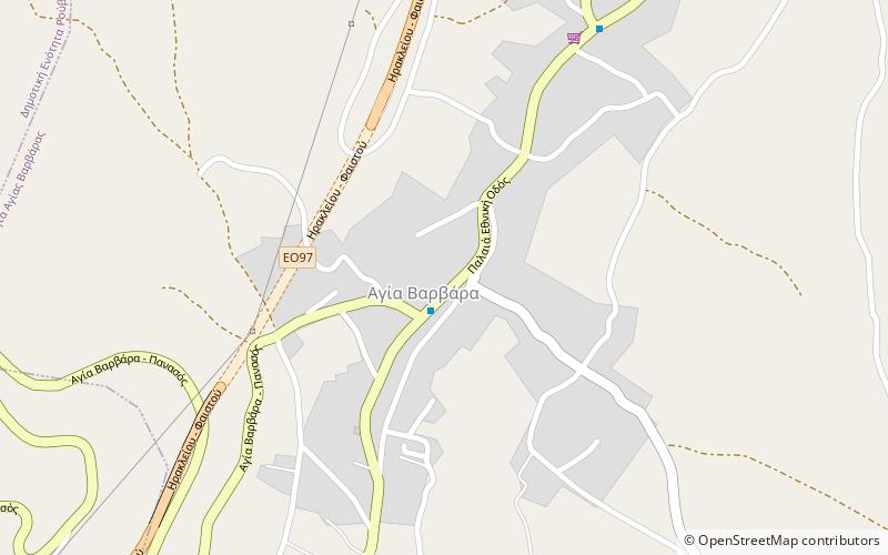
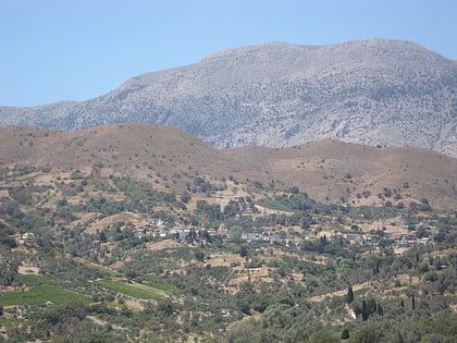
Agia Varvara is a village and a former municipality in the Heraklion regional unit, Crete, Greece. Since the 2011 local government reform it is part of the municipality Gortyn, of which it is a municipal unit. The municipal unit has an area of 99.038 km2. Population 4,587. The village lies at an altitude of about 580 meters and has 2,043 inhabitants. ()
Location
Crete
ContactAdd
Social media
Add
Day trips
Agia Varvara – popular in the area (distance from the attraction)
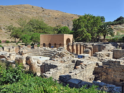
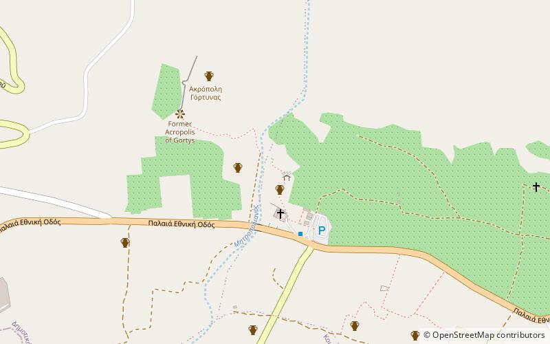
Nearby attractions include: Gortyna, Gortyn code, Prinias, St Titus Church.


