Xerovouni
Map

Map

Facts and practical information
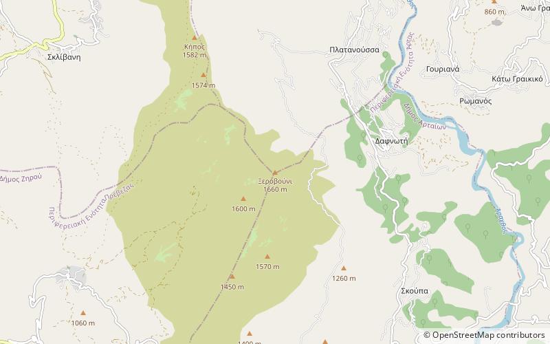
Xerovouni is a mountain in the southern part of the Epirus region, Greece. It covers the northeastern Preveza, the southern Ioannina and the northwestern Arta regional units. Its maximum elevation is 1,614 m. It is drained by the river Arachthos to the east and by the river Louros to the west. The nearest mountains are the Tomaros to the northwest and the Athamanika to the northeast. There are forests in the lower areas, the highest areas consist of dry grasslands. ()
Location
Epirus and Western Macedonia
ContactAdd
Social media
Add
Day trips
Xerovouni – popular in the area (distance from the attraction)
Nearby attractions include: Plaka Bridge.

