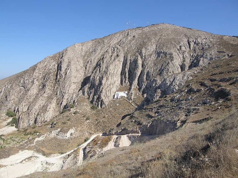
Profitis Illas, Santorini
Gallery (1)
Map
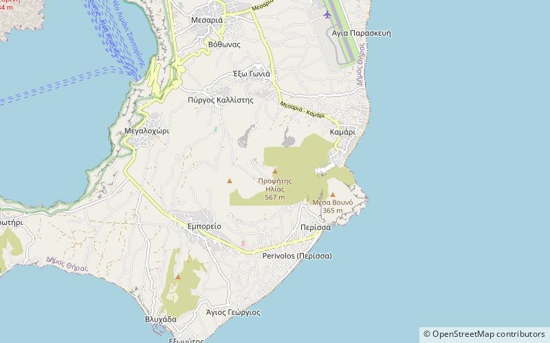
Map
Facts and practical information
Profitis Illas (address: Όρος Προφήτης Ηλίας) is a place located in Santorini (Aegean decentralized administration) and belongs to the category of nature, natural attraction, specialty museum.
It is situated at an altitude of 1768 feet, and its geographical coordinates are 36°22'5"N latitude and 25°27'49"E longitude.
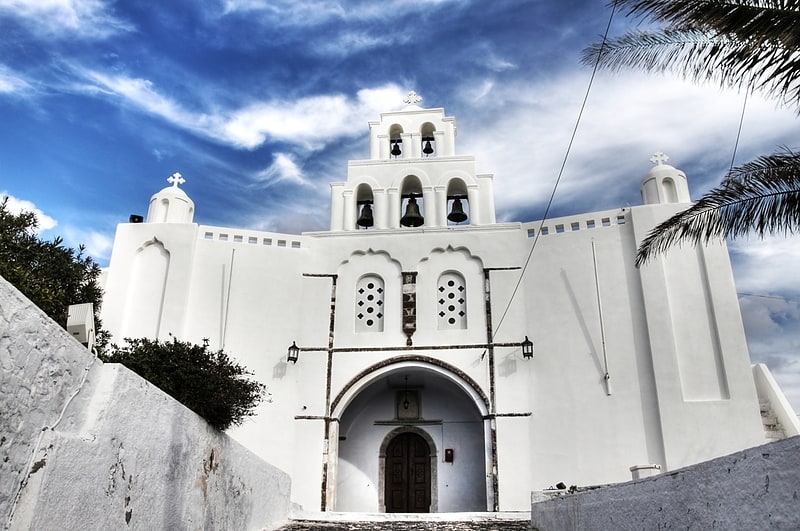
Among other places and attractions worth visiting in the area are: Panagia Episkopi, Perissa (church, 17 min walk), Ancient Thera, Kamari (historical place, 23 min walk), Eduart Gjopalaj - Wood sculptures, Kamari (art gallery, 27 min walk).
Coordinates: 36°22'5"N, 25°27'49"E
Day trips


Frequently Asked Questions (FAQ)
Which popular attractions are close to Profitis Illas?
Nearby attractions include Panagia Episkopi, Perissa (17 min walk), Ancient Thera, Kamari (23 min walk).