Terra Vibe Park
#338 among destinations in Greece
Facts and practical information
Terra Vibe is a park in Attica, Greece, which is used as a venue for large-scale outdoor events, such as concerts and festivals. ()
Terra Vibe Park – popular in the area (distance from the attraction)
Nearby attractions include: Parnitha, Tatoi Palace, Amphiareion of Oropos, Marathon Dam.
 Park
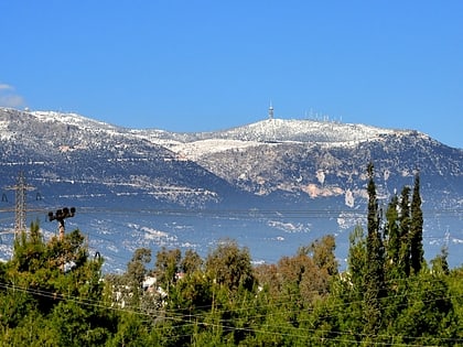
ParkParnitha
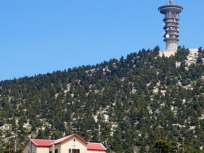
160 min walk • Mount Parnitha is a densely forested mountain range north of Attica, the highest on the peninsula of Attica, with an elevation of 1,413 m, and a summit known as Karavola.
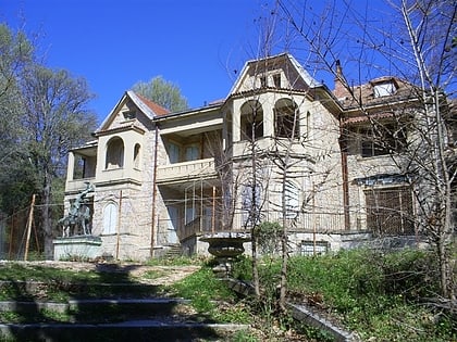 Former royal estate with guided tours
Tatoi Palace
121 min walk • Tatoi was the summer palace and 42 km² estate of the former Greek Royal Family. The area is a densely wooded southeast-facing slope of Mount Parnitha, and its ancient and current official name is Dekeleia.
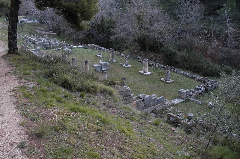
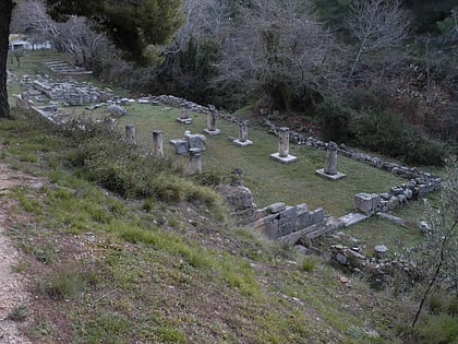 Archaeological site
Amphiareion of Oropos
120 min walk • The Amphiareion of Oropos, situated in the hills 6 km southeast of the fortified port of Oropos, was a sanctuary dedicated in the late 5th century BCE to the hero Amphiaraos, where pilgrims went to seek oracular responses and healing.
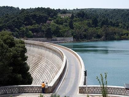 Dam
DamMarathon Dam
176 min walk • The Marathon Dam is a gravity dam on the Charadros River, near its junction with the Varnavas Stream, 8 km west of Marathon and 45 km northeast of Athens in Greece. The dam created Lake Marathon for the primary purpose of municipal water supply. Constructed between 1926 and 1929, it was the sole supplier of water to Athens until 1959.
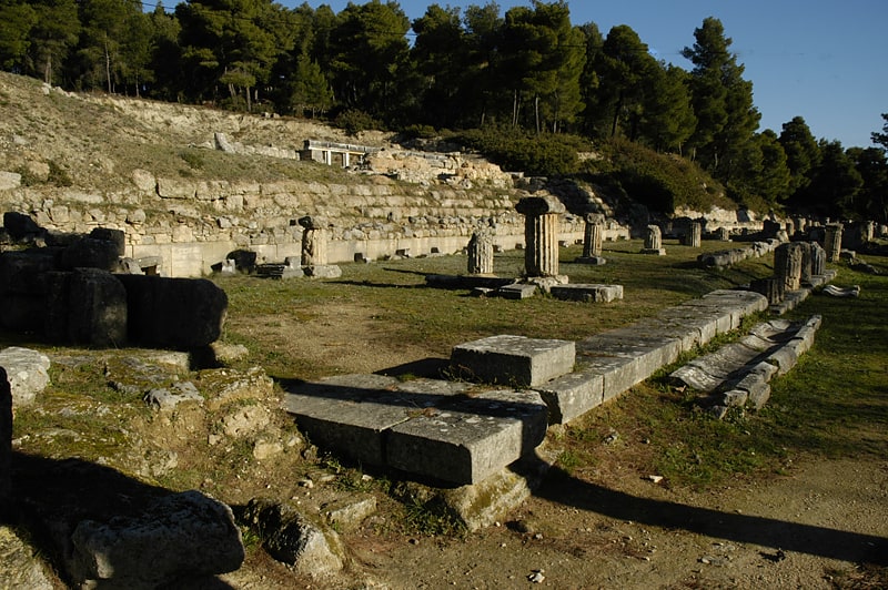
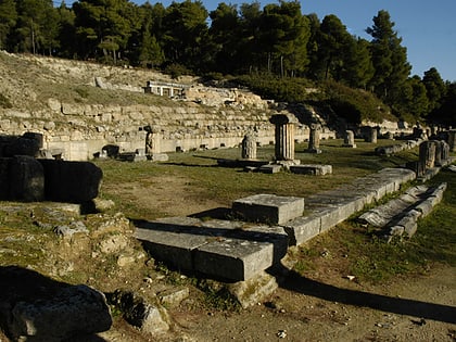 Ruins, Historical place
Stoa Amphiaraion
120 min walk • Stoa Amphiaraion is located on the east side of the Sanctuary of Amphiaraios, southeast of the Theatre. It was built c. 360 BC.
 Hiking, Alpine hut
Bafi
158 min walk • The Bafi Refuge belongs to the Greek Mountaineering Club, E.O.S. Athens founded in 1928 in the Mount Parnitha National Park, at an altitude of 1160m, roughly 2.5 km from Mont Parness, inside the national park.
 Village
Malakasa
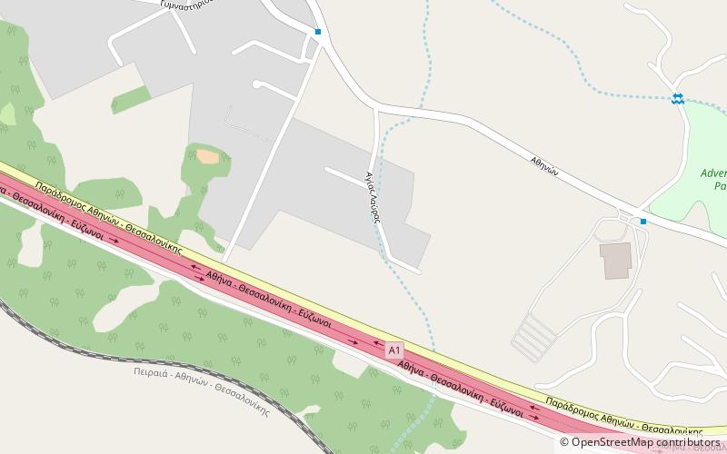
12 min walk • Malakasa is a village and former community of East Attica in Greece. Since the 2011 local government reform it is part of the municipality Oropos, of which it is a municipal unit. The municipal unit has an area of 10.450 km².
 Town
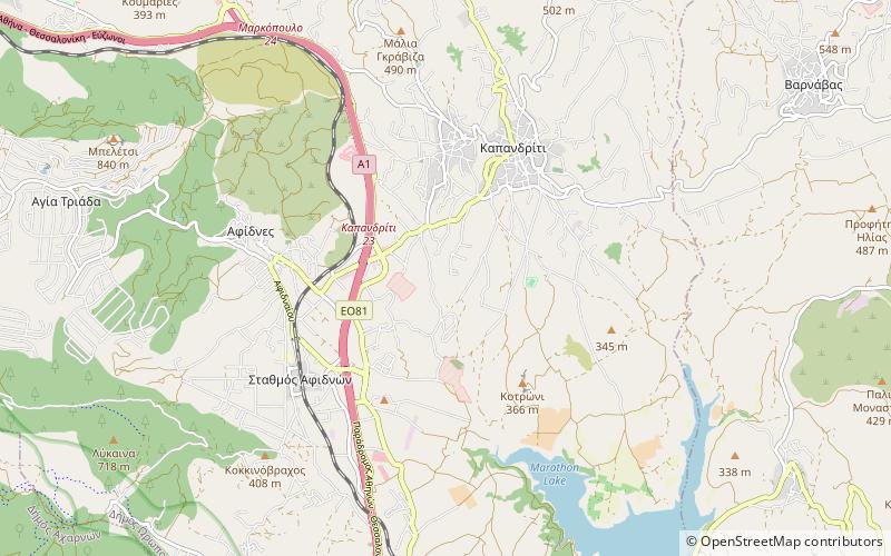
TownMarkopoulo Oropou
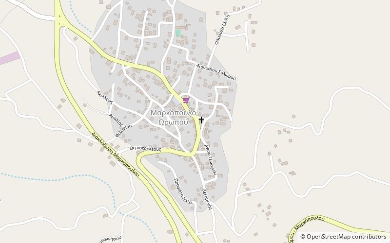
107 min walk • Markopoulo Oropou is a town and a former community of East Attica, Greece. Since the 2011 local government reform it is part of the municipality Oropos, of which it is a municipal unit. The municipal unit has an area of 23.177 km².
 Town
TownPolydendri
99 min walk • Polydendri is a town and former community of East Attica, Greece. Since the 2011 local government reform it is part of the municipality Oropos, of which it is a municipal unit.
 Town
TownKalamos
181 min walk • Kalamos is a town and a former community in East Attica, Greece. Since the 2011 local government reform it is part of the municipality Oropos, of which it is a municipal unit. The municipal unit has an area of 44.878 km².
 Town
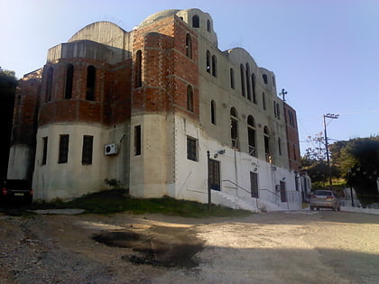
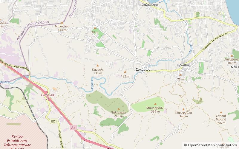
TownSykamino
175 min walk • Sykamino is a town and former community of Attica, Greece. Since the 2011 local government reform it is part of the municipality Oropos, of which it is a municipal unit. Sykamino is located in the extreme northwestern part of East Attica, on the river Asopos. Sykamino is located east of Thiva and south of Chalkida.