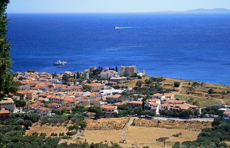
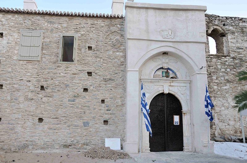
Vronda Monastry, Samos

Gallery (3)
Map
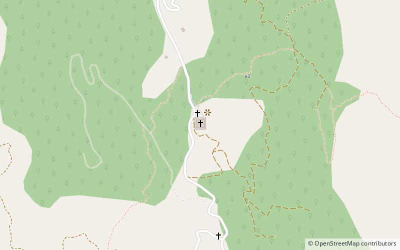
Map
Gallery
Facts and practical information
Vronda Monastry is a place located in Samos (Aegean decentralized administration) and belongs to the category of church.
It is situated at an altitude of 1585 feet, and its geographical coordinates are 37°46'24"N latitude and 26°51'19"E longitude.
Among other places and attractions worth visiting in the area are: Kokkari (village, 50 min walk), Pythagoreion (unesco, 129 min walk), The Tunnel of Eupalinos, Pythagoreio (historical place, 174 min walk).
Coordinates: 37°46'24"N, 26°51'19"E
Address
Samos
ContactAdd
Social media
Add
Day trips