Zarouchleika, Patra

Map
Facts and practical information
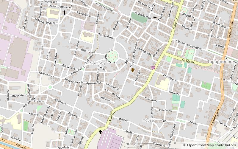
Zarouchleika or Zarouchlaiika, official name Glafkos, is a big suburb with approximately population of 50,000 residents, it's in the southern part of the city of Patras, Greece. It is about 3 km south from the city centre. The main streets of Zarouchleika are the coastal road Akti Dymaion and Antheias Street. The OSE's railway from Patras to Pyrgos passes west of Zarouchleika. ()
Coordinates: 38°13'0"N, 21°43'60"E
Address
Patra
ContactAdd
Social media
Add
Day trips
Zarouchleika – popular in the area (distance from the attraction)
Nearby attractions include: Eleftheriou Venizelou Street, Pampeloponnisiako Stadium, Drosia, Begoulaki.
Frequently Asked Questions (FAQ)
How to get to Zarouchleika by public transport?
The nearest stations to Zarouchleika:
Train
Ferry
Train
- Ανθείας (19 min walk)
- Ιτιές (23 min walk)
Ferry
- Southern Port of Patras (27 min walk)


