Zavlani, Patra
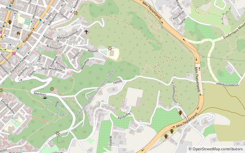
Map
Facts and practical information
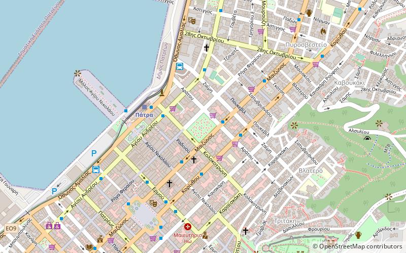
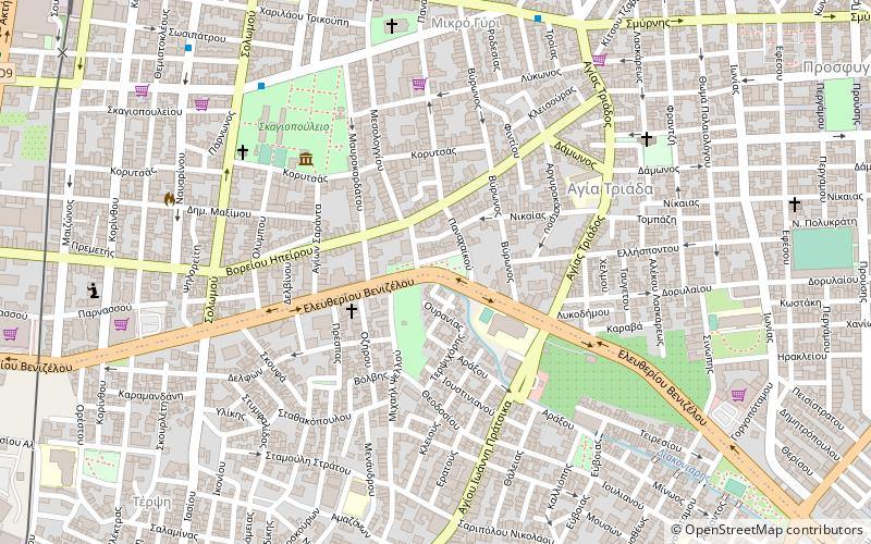
Zavlani is a neighbourhood in the northeastern part of the city of Patras, 4 kilometres direct and 5 kilometres via road from the downtown core. The neighbourhood bears the football club team named A.P.S. Zavlani and plays in the prefectural fourth division. ()
Coordinates: 38°15'0"N, 21°45'0"E
Address
Patra
ContactAdd
Social media
Add
Day trips
Zavlani – popular in the area (distance from the attraction)
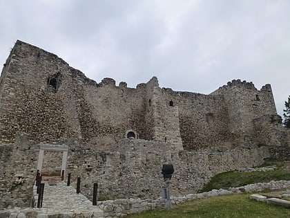
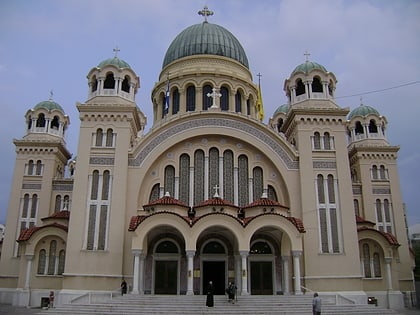
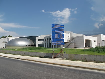
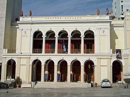
Nearby attractions include: Patras Castle, Cathedral of Saint Andrews, Archaeological Museum of Patras, Apollon Theatre.
Frequently Asked Questions (FAQ)
Which popular attractions are close to Zavlani?
Nearby attractions include Aroi, Patra (1 min walk), Asyrmatos, Patra (4 min walk), Dasylio, Patra (6 min walk), Patras Castle, Patra (15 min walk).
How to get to Zavlani by public transport?
The nearest stations to Zavlani:
Bus
Train
Bus
- Φαβιερου • Lines: 2 - Νέος Δρόμος - Ταραμπούρα (12 min walk)
- Αγιασ Σοφιασ • Lines: 2 - Νέος Δρόμος - Ταραμπούρα (13 min walk)
Train
- Patras (21 min walk)
- Παναχαϊκή (25 min walk)
