Kastellokampos, Patra
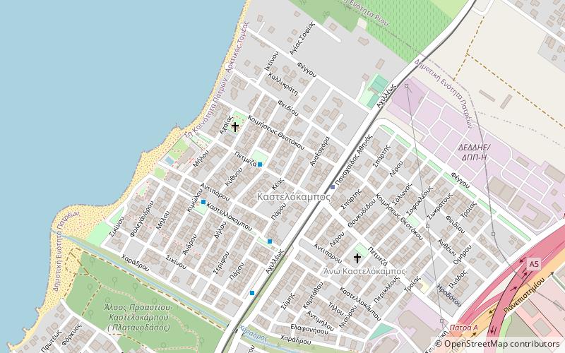
Map
Facts and practical information
Kastellokampos is a neighbourhood of the city of Patras, Achaea, Greece. It has been part of the municipality of Patras since 1879. It is situated on the Gulf of Patras coast, 6 km north of the city centre of Patras and 1.5 km southwest of Rio. The population is between 2,000 and 3,000. The river Charadros flows into the sea in Kastellokampos. Motorway 5 passes east of the neighbourhood. Kastellokampos has a station on the Piraeus–Patras railway, served by Proastiakos suburban rail. ()
Coordinates: 38°17'30"N, 21°46'12"E
Address
Patra
ContactAdd
Social media
Add
Day trips
Kastellokampos – popular in the area (distance from the attraction)
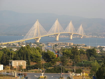
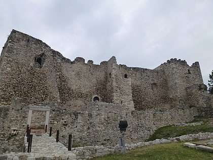
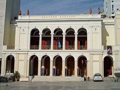
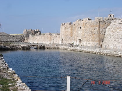
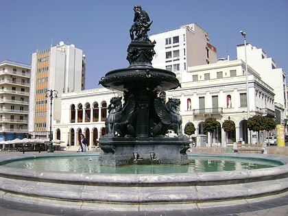
Nearby attractions include: Rio–Antirrio Bridge, Patras Castle, Archaeological Museum of Patras, Apollon Theatre.
Frequently Asked Questions (FAQ)
How to get to Kastellokampos by public transport?
The nearest stations to Kastellokampos:
Train
Bus
Train
- Καστελόκαμπος (2 min walk)
- Rio (16 min walk)
Bus
- Θετικων Επιστημων (25 min walk)
- Πρυτανεια (25 min walk)
