Sirra, Serres
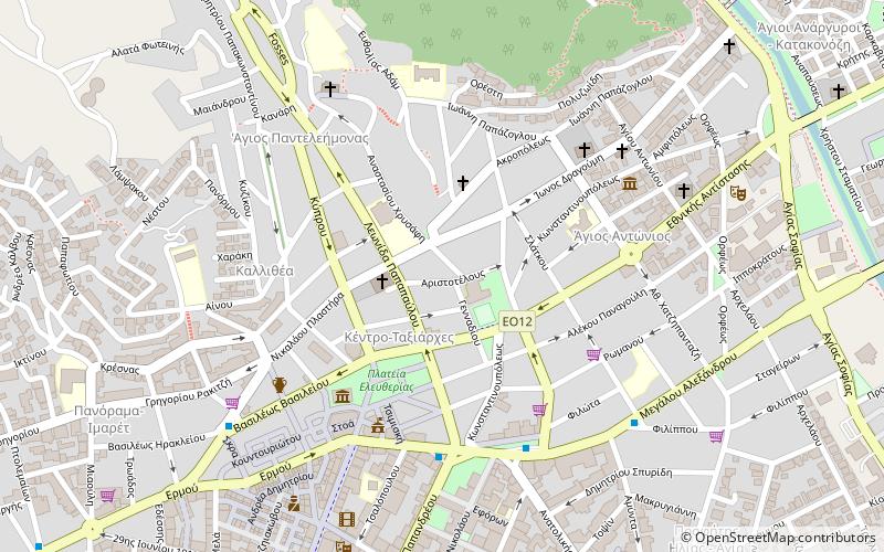
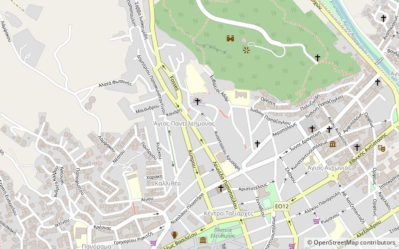
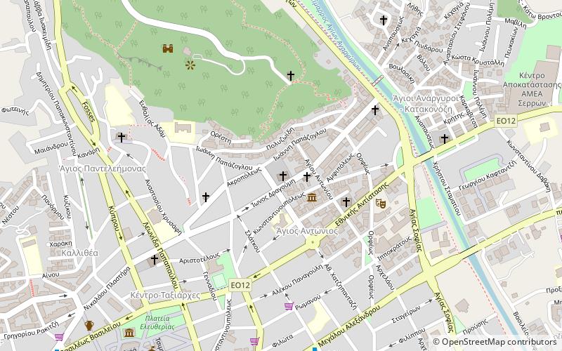
Map
Facts and practical information
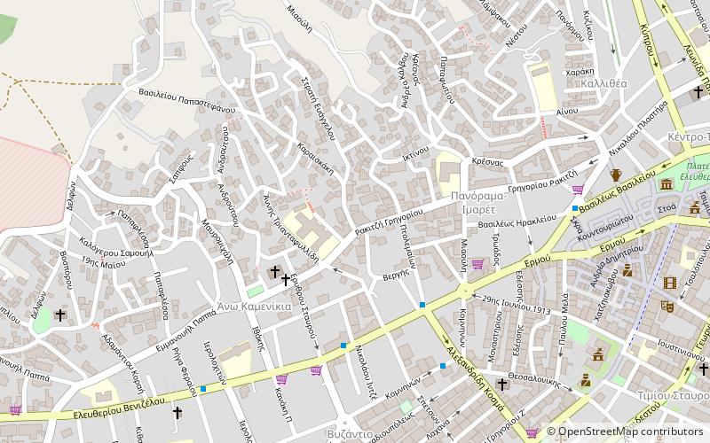
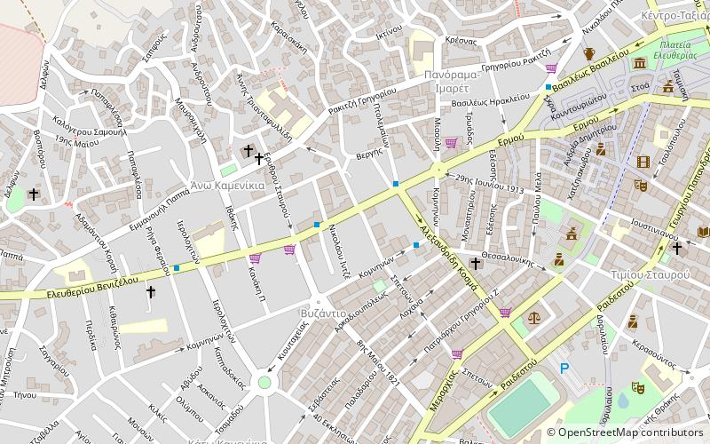
Sirra or was an ancient Greek polis located in Thrace, in the region between the river Strymon and the river Nestos. The city ethnic name was or and its territory was called. Sirra was located in the territory of the Odomantes. ()
Coordinates: 41°5'17"N, 23°32'33"E
Address
Serres
ContactAdd
Social media
Add
Day trips
Sirra – popular in the area (distance from the attraction)
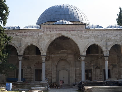
Nearby attractions include: Sarakatsani Folklore Museum, Hadzilia Folklore and Ethnological Museum, Zincirli Mosque, Serres Ecclesiastical Museum.
Frequently Asked Questions (FAQ)
Which popular attractions are close to Sirra?
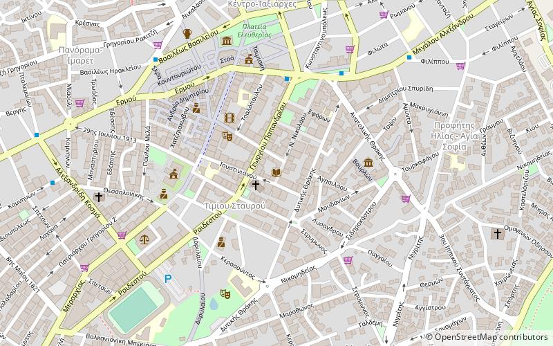
Nearby attractions include Vlach Folklore Museum, Serres (5 min walk), Archaeological Museum of Serres, Serres (11 min walk), Central Public Library of Serres, Serres (12 min walk), Hadzilia Folklore and Ethnological Museum, Serres (15 min walk).
How to get to Sirra by public transport?
The nearest stations to Sirra:
Bus
Train
Bus
- KTEL - Bus Station Terminal of Serres (20 min walk)
- ΚΤΕΛ Σερρών (20 min walk)
Train
- Serres Railway Station (26 min walk)

