Papadoplaka
Map

Map

Facts and practical information
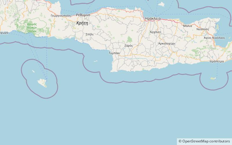
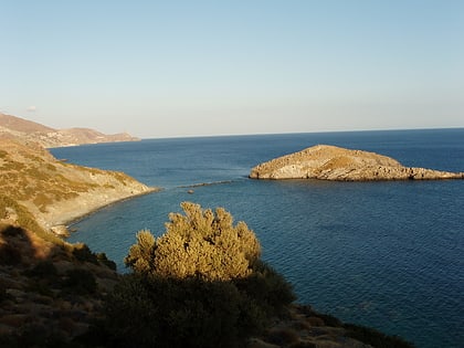
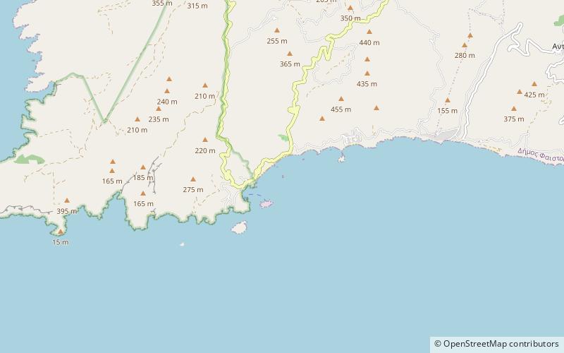
Papadoplaka is a natural reef islet off the southern coast of the Greek island of Crete in the Libyan Sea. The islet is in a bay between cape Lithino and cape Kefalas, at Kommos, and close to Gortyn which was the ancient capital of Crete. The name can be loosely translated as the priest's rock. It is administered within Heraklion regional unit. ()
Archipelago: Cretan IslandsCoordinates: 34°55'10"N, 24°47'9"E
Location
Crete
ContactAdd
Social media
Add
Day trips
Papadoplaka – popular in the area (distance from the attraction)
Nearby attractions include: Red Beach, Matala Tombs, Trafos, Megalonisi.


