Petalida
Map

Map

Facts and practical information
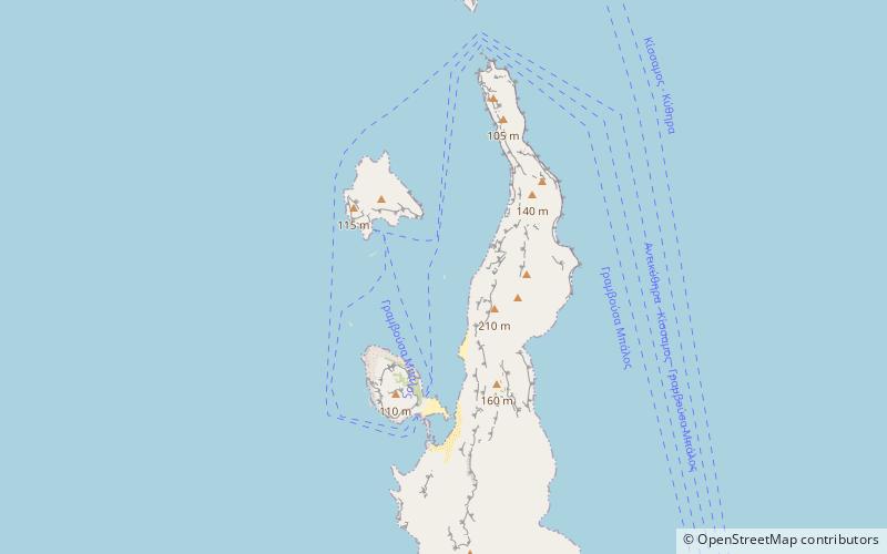
Petalida, also known as Xera, is an islet close to the northern coast of Crete in the Aegean Sea. It is located between the island of Imeri Gramvousa and the mainland. Administratively, it is located within the municipality of Kissamos, in Chania regional unit. ()
Local name: Πεταλίδι ΚισσάμουArchipelago: Cretan IslandsCoordinates: 35°36'2"N, 23°35'22"E
Location
Crete
ContactAdd
Social media
Add
Day trips
Petalida – popular in the area (distance from the attraction)
Nearby attractions include: Valenti rock, Arnaouti.


