Pondikonisi

Gallery (1)
Map
Map
Facts and practical information
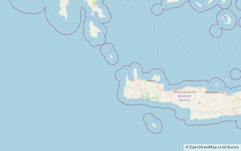
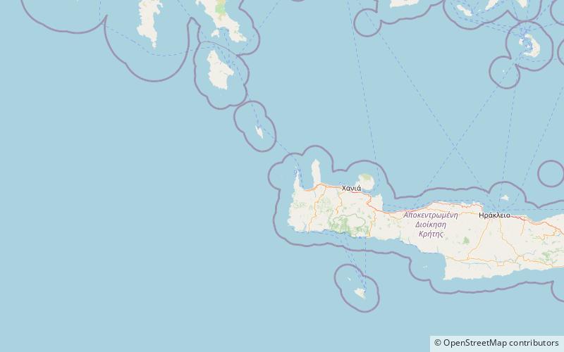
Pontikonisi is an uninhabited islet off the coast of western Crete. Administratively, it is part of the municipality Kissamos, in Chania regional unit. There is a small islet close to Pontikonisi called Pontikaki. ()
Local name: Ποντικονήσι Χανίων Area: 0.97 mi²Archipelago: Cretan IslandsCoordinates: 35°35'9"N, 23°28'38"E
Location
Crete
ContactAdd
Social media
Add
Day trips