Yahudi Hamam, Thessaloniki

Gallery (1)
Map
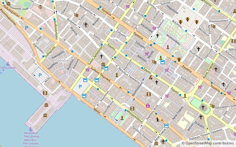
Map
Facts and practical information
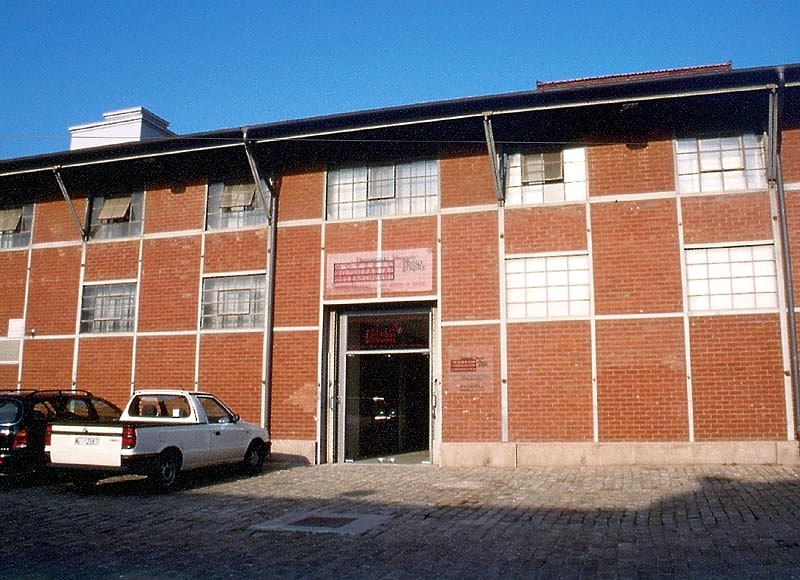
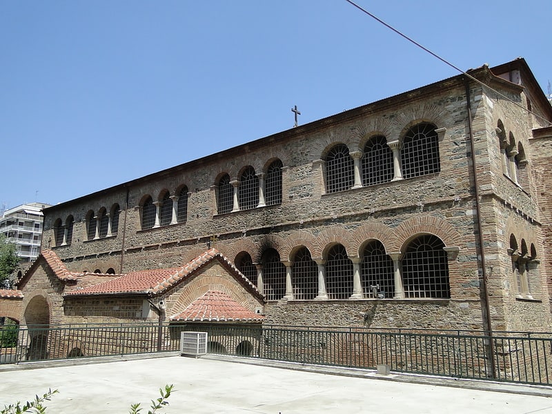
The Yahudi Hamam is an Ottoman-era bath in Thessaloniki, Greece. Located at the intersection of Vasileos Irakleiou and Frangini streets, the bath dates to the 16th century. Its name means "Bath of the Jews", as the area was predominantly settled by Sephardi Jews. It was also named Pazar Hamam, due to its location in the central market-place of the city. ()
Local name: Γιαχουντί ΧαμάμCoordinates: 40°38'5"N, 22°56'27"E
Address
Θεσσαλονίκη (Διαγώνιος)Thessaloniki
ContactAdd
Social media
Add
Getting there by public transportation
Public transportation stops near this location
- Metro
- Bus
- Train
- Ferry
 Metro
Metro
- Calculate routeΔυτικομακεδονων 2 min walk
- Calculate routeΠλατεια Αριστοτελουσ 3 min walk
- Calculate routeΤερμ. Στ. Βενιζέλου 3 min walk
- Calculate routeΒενιζέλου 5 min walk
- Calculate routeΑγίας Σοφίας 8 min walk
- Calculate routeΔημοκρατίας 14 min walk
- Calculate routeΣιντριβάνι 20 min walk
- Calculate routeThessaloniki 11 min walk
- Calculate routeThessaloniki Railway Station 25 min walk
- Calculate routeThessaloniki Freight Station 25 min walk
Day trips
Yahudi Hamam – popular in the area (distance from the attraction)
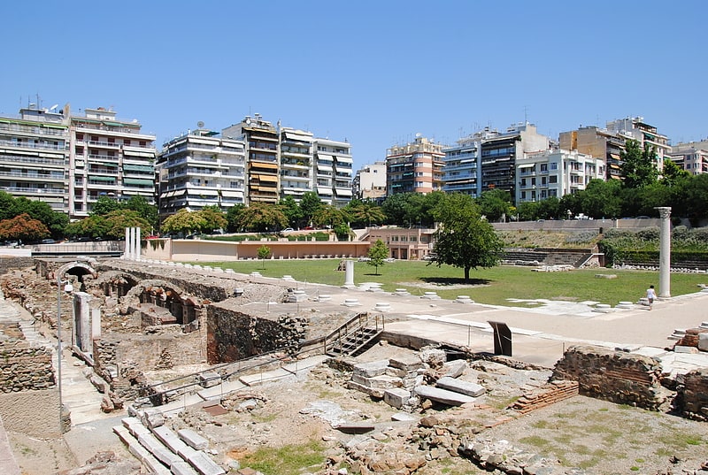
Nearby attractions include: Tsimiski Street, Hagios Demetrios, Aristotelous Square, Hagia Sophia.


Frequently Asked Questions (FAQ)
Which popular attractions are close to Yahudi Hamam?
Nearby attractions include Modiano Market, Thessaloniki (2 min walk), Jewish Museum of Thessaloniki, Thessaloniki (2 min walk), Memorial for Grigoris Lambrakis, Thessaloniki (3 min walk), Eleftherias Square, Thessaloniki (4 min walk).
How to get to Yahudi Hamam by public transport?
The nearest stations to Yahudi Hamam:
Bus
Metro
Ferry
Train
Bus
- Δυτικομακεδονων • Lines: 26 (2 min walk)
- Πλατεια Αριστοτελουσ • Lines: 12, 33, 33A, 6 (3 min walk)
Metro
- Βενιζέλου • Lines: Βασική Γραμμή Μετρό, Γραμμή Μετρό Καλαμαριάς (5 min walk)
- Αγίας Σοφίας • Lines: Βασική Γραμμή Μετρό, Γραμμή Μετρό Καλαμαριάς (8 min walk)
Ferry
- Thessaloniki (11 min walk)
Train
- Thessaloniki Railway Station (25 min walk)
- Thessaloniki Freight Station (25 min walk)