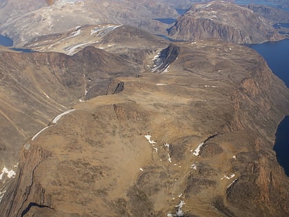
Nutaarmiut Island
Map

Map

Facts and practical information
Nutaarmiut Island is an uninhabited island in Avannaata municipality in northwestern Greenland, with an area of 377 km2. ()
Alternative names: Area: 145.56 mi²Archipelago: Upernavik ArchipelagoCoordinates: 72°41'60"N, 55°25'0"W
Location
Qaasuitsup
ContactAdd
Social media
Add
