Qalorujoorneq, Kulusuk Island
Map

Map

Facts and practical information
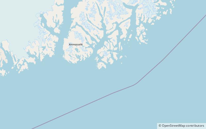
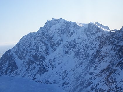
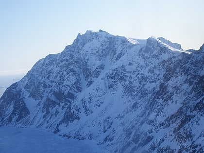
Qalorngoorneq is a small mountain range in the eastern part of Kulusuk Island in Sermersooq Municipality, southeastern Greenland. At 676-metre-high its highest point is the highest mountain on the island. ()
Maximum elevation: 2218 ftCoordinates: 65°33'38"N, 37°5'30"W
Address
Kulusuk Island
ContactAdd
Social media
Add
Day trips
Qalorujoorneq – popular in the area (distance from the attraction)
Nearby attractions include: Kulusuk, Qalorujoorneq.


