Anglican Church, St. George's
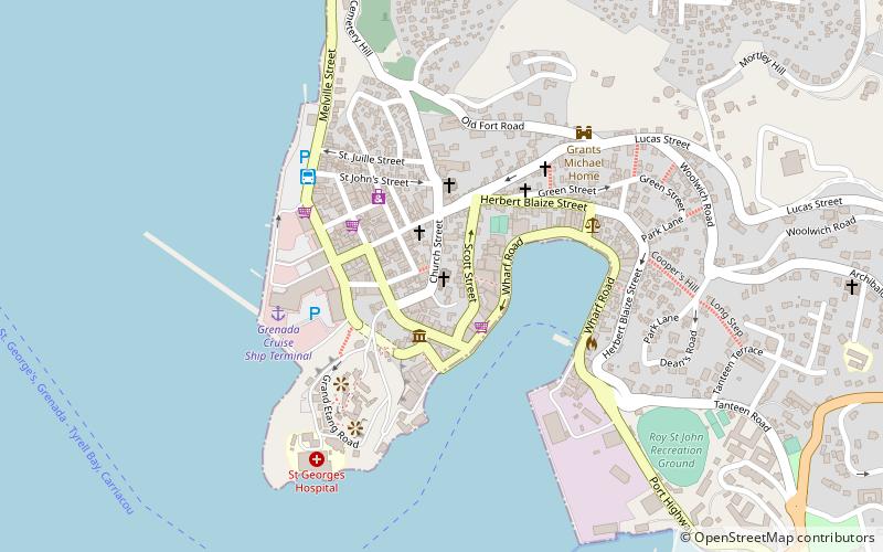
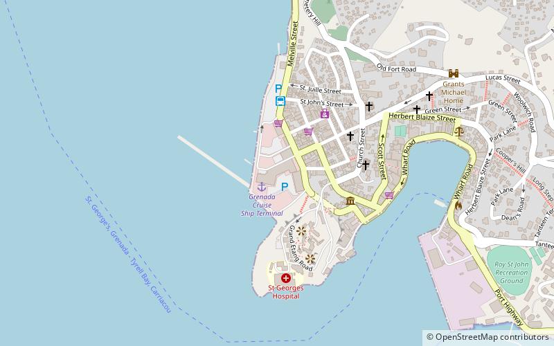
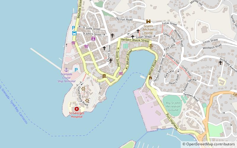
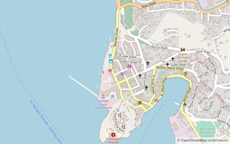
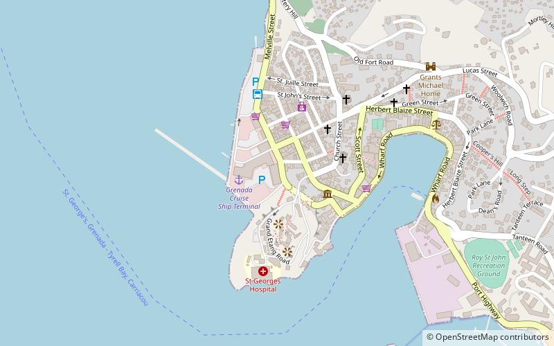
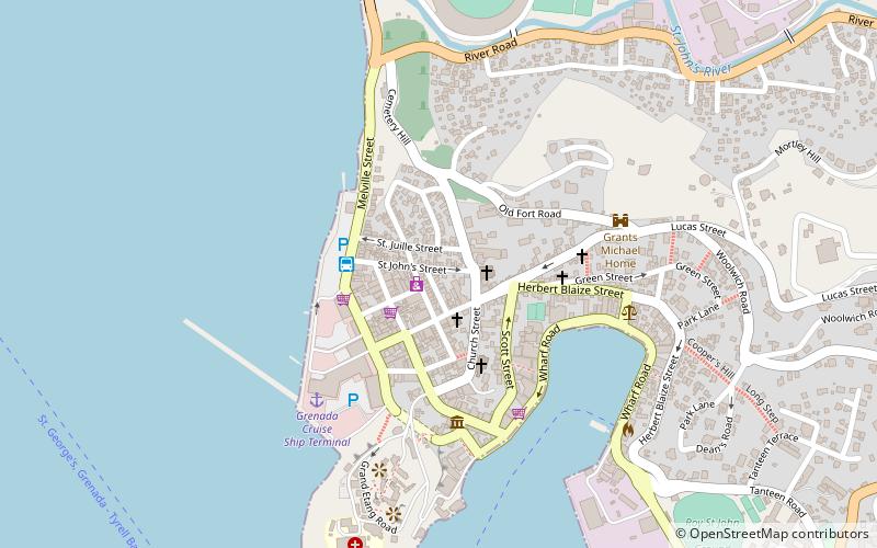
Map
Facts and practical information
Anglican Church is a place located in St. George's (Saint George parish) and belongs to the category of church.
It is situated at an altitude of 75 feet, and its geographical coordinates are 12°3'6"N latitude and 61°45'8"W longitude.
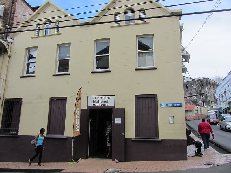
Among other places and attractions worth visiting in the area are: Dots Plaza (shopping, 3 min walk), Grenada National Museum (specialty museum, 3 min walk), Grenada Community Library & Resource Centre Inc (library, 4 min walk).
Coordinates: 12°3'6"N, 61°45'8"W
Address
St. George's
ContactAdd
Social media
Add
Day trips


Frequently Asked Questions (FAQ)
Which popular attractions are close to Anglican Church?
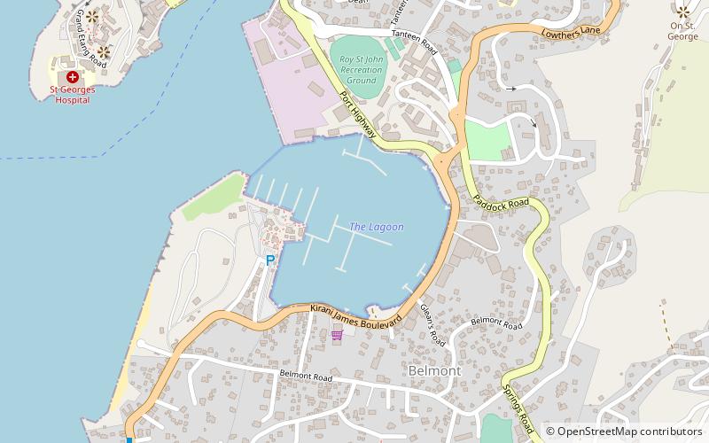
Nearby attractions include Grenada National Museum, St. George's (3 min walk), Grenada Community Library & Resource Centre Inc, St. George's (4 min walk), Port Louis Marina, St. George's (14 min walk), The Lagoon, St. George's (15 min walk).