
Aguateca Travel Guide
Facts and practical information
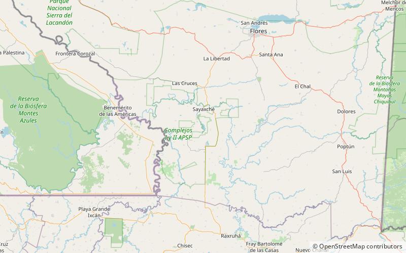
Located in the Petén region of Guatemala, Aguateca is a captivating tourist destination that offers a blend of ancient history and natural beauty. This archaeological site is nestled within the lush rainforest and is renowned for its well-preserved Mayan ruins, making it a must-visit for history enthusiasts and adventure seekers alike.
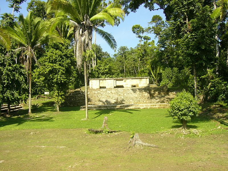
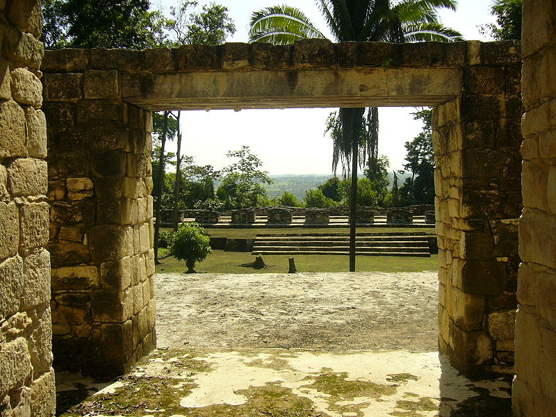
Visitors to Aguateca can explore the impressive remnants of this ancient Maya city, including the towering pyramids, intricate stone carvings, and expansive plazas. The site provides a fascinating glimpse into the architectural and cultural achievements of the Maya civilization, with knowledgeable guides on hand to provide insight into the site's significance and history.
In addition to its historical treasures, Aguateca also boasts stunning natural surroundings. The site is situated atop a limestone plateau, offering panoramic views of the surrounding jungle and the winding Pasión River below. Visitors can immerse themselves in the breathtaking landscape as they hike through the dense foliage, keeping an eye out for the diverse array of flora and fauna that call the area home.
For those seeking a truly immersive experience, Aguateca offers the opportunity to camp within the grounds of the ancient city. Spending a night under the stars in this evocative setting allows visitors to connect with the site on a deeper level, as they listen to the sounds of the jungle and witness the sunrise over the ancient ruins.
Petén
Aguateca Attractions - What to See and Explore
Aguateca offers many attractions and places to visit. Here are the most important ones: Petexbatún Lake, Punta de Chimino. Below you will find a complete list of places worth visiting.

Best Time To Visit Aguateca
Learn when is the best time to travel to Aguateca weather-wise and what to expect in each season.