El Rosario National Park

Map
Facts and practical information
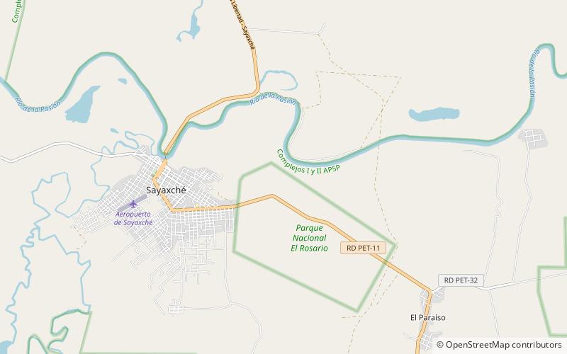
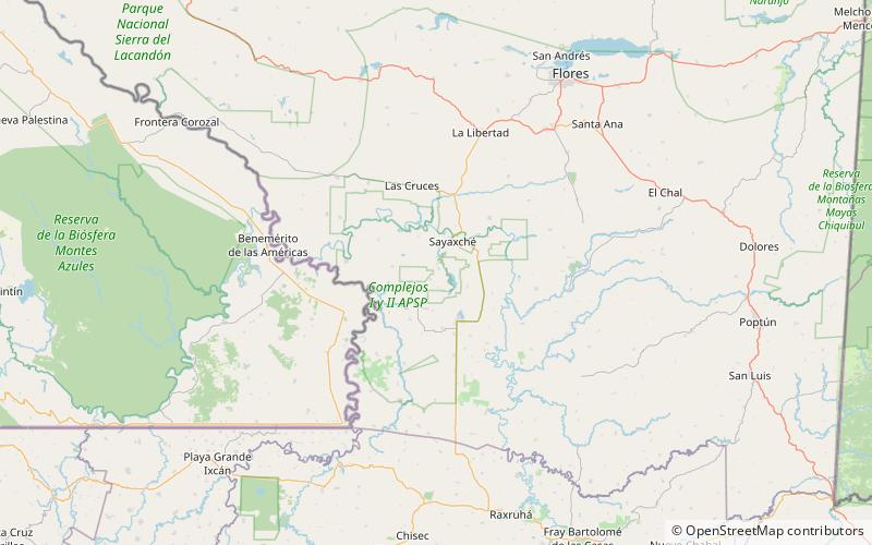
El Rosario National Park is located in El Petén, Guatemala, on the eastern edge of the town of Sayaxché. The park is named after laguna El Rosario, a small lake within its boundaries, and was formerly a state owned finca managed by the National Forestry Institute. In 1980 it was declared a national park. The park covers an area of 11.05 km2, including the El Rosario lake, which has a surface area of 4 ha in the dry season, though it is considerably larger during the rainy season. ()
Location
Petén
ContactAdd
Social media
Add
Day trips
El Rosario National Park – popular in the area (distance from the attraction)
Nearby attractions include: Tamarindito, Sayaxché.

