San Antonio Palopo
Map

Map

Facts and practical information
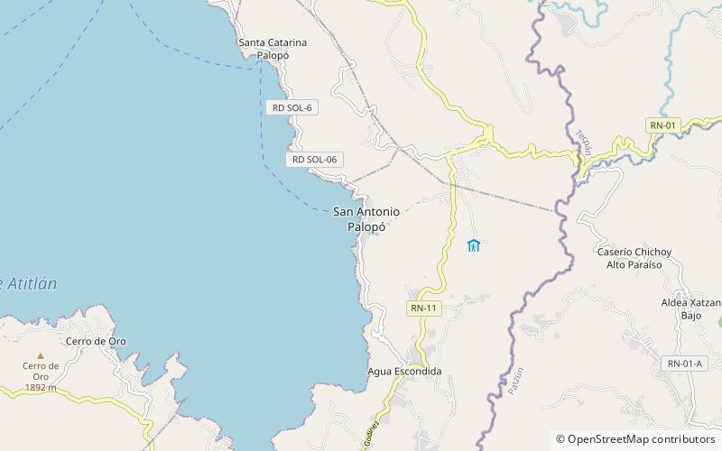
San Antonio Palopó is a municipality in the Sololá Department of Guatemala. The village is on the eastern shore of Lake Atitlán. The lowest elevation is 1,562 metres at the shoreline. The people of the region are Cakchiquel Maya with a distinctive style of clothing. The patron saint of the village is St. Anthony of Padua. The annual festival takes place on 13 June. ()
Local name: San Antonio Palopó Population: 3.6 thous.Area: 13.13 mi²Minimal elevation: 5125 ftCoordinates: 14°41'27"N, 91°7'3"W
Location
Sololá
ContactAdd
Social media
Add
Day trips
San Antonio Palopo – popular in the area (distance from the attraction)
Nearby attractions include: San Juan Comalapa, Volcán Tolimán, La Galeria, Lake Atitlán.


