Sierra de las Minas
Map
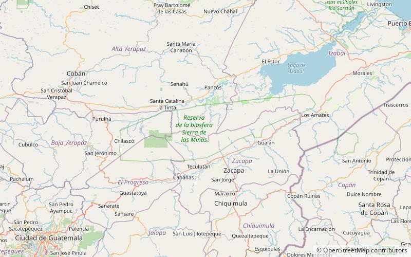
Map

Facts and practical information
Sierra de las Minas is a mountain range in eastern Guatemala, extending 130 km west of the Lake Izabal. It is 15–30 km wide and bordered by the valleys of the rivers Polochic in the north and the Motagua in the south. Its western border is marked by the Salamá River valley which separates it from the Chuacús mountain range. The highest peak is Cerro Raxón at 3,015 m. The Sierra's rich deposits of jade and marble have been mined throughout the past centuries. These small scale mining activities also explain the name of the mountain range. ()
Best Ways to Experience the Park
Wildlife
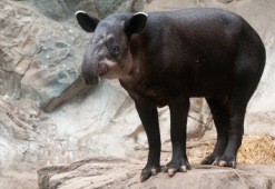
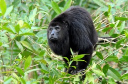
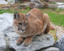
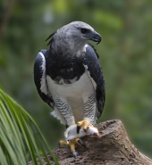
AnimalsSee what popular animal species you can meet in this location.
More
Show more


