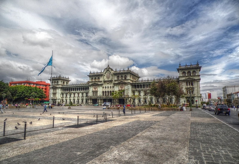
Arco de Correos, Guatemala City
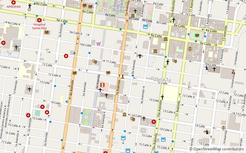
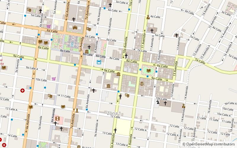
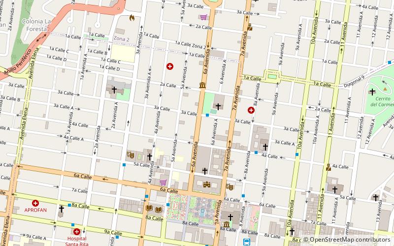
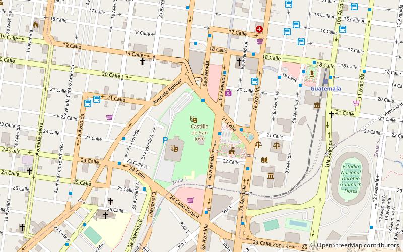
Map
Facts and practical information
Arco de Correos is a place located in Guatemala City (Guatemala department) and belongs to the category of museum.
It is situated at an altitude of 4931 feet, and its geographical coordinates are 14°38'14"N latitude and 90°30'46"W longitude.
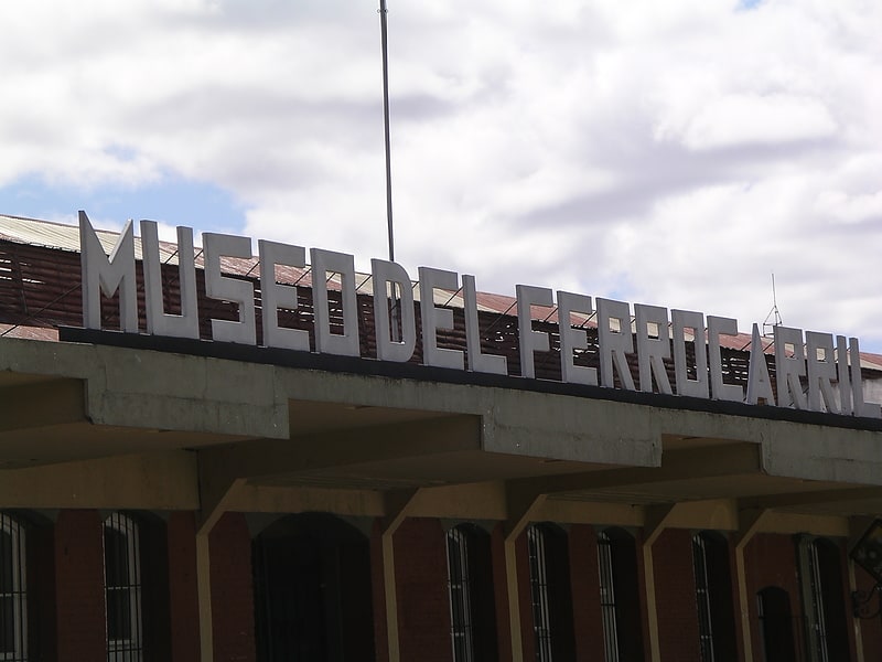
Planning a visit to this place, one can easily and conveniently get there by public transportation. Arco de Correos is a short distance from the following public transport stations: San Agustin (bus, 5 min walk), Estación del Ferrocarril (train, 14 min walk).
Among other places and attractions worth visiting in the area are: Guatemala Post Office Building (arch, 1 min walk), St. Francis Church (church, 4 min walk), MUSAC - Museo e La Universidad de San Carlos (museum, 5 min walk).
Coordinates: 14°38'14"N, 90°30'46"W
Getting there by public transportation
Public transportation stops near this location
- Bus
- Train
 Bus
Bus
- Calculate routeSan Agustin 5 min walk
- Calculate routeCapuchinas 6 min walk
- Calculate routeBeatas de Belén Transmetro 7 min walk
- Calculate routeGomez Carrillo MRT1 7 min walk
- Calculate routeEstación del Ferrocarril 14 min walk
Day trips


Frequently Asked Questions (FAQ)
Which popular attractions are close to Arco de Correos?
Nearby attractions include Guatemala Post Office Building, Guatemala City (1 min walk), St. Francis Church, Guatemala City (4 min walk), MUSAC - Museo e La Universidad de San Carlos, Guatemala City (5 min walk), Teatro Abril, Guatemala City (6 min walk).
How to get to Arco de Correos by public transport?
The nearest stations to Arco de Correos:
Bus
Train
Bus
- San Agustin (5 min walk)
- Capuchinas • Lines: L18 (6 min walk)
Train
- Estación del Ferrocarril (14 min walk)