Arroyo de Piedra, Dos Pilas

Gallery (1)
Map
Map
Facts and practical information
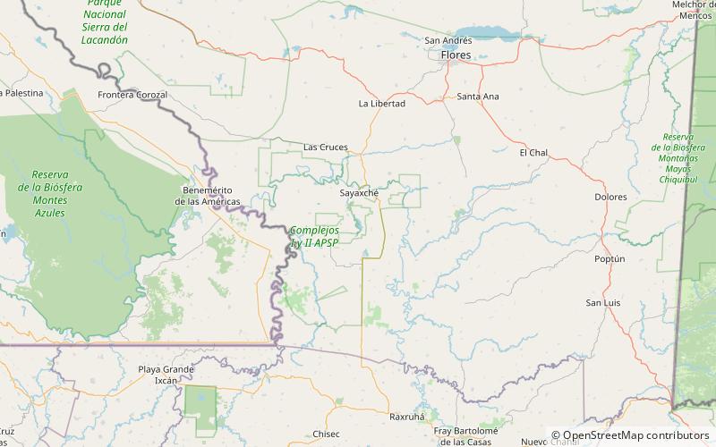
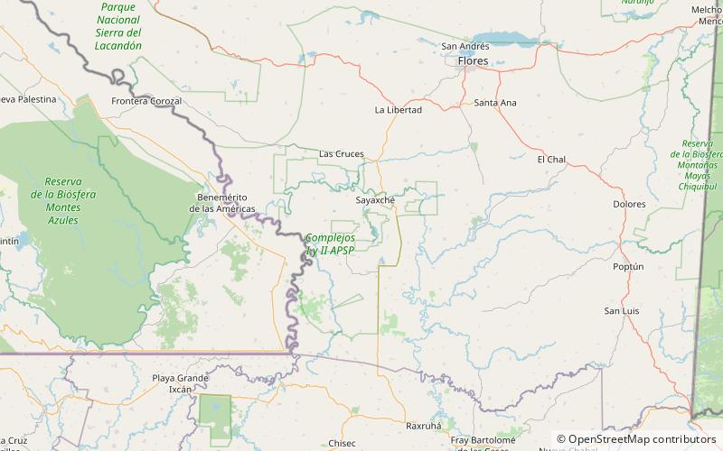
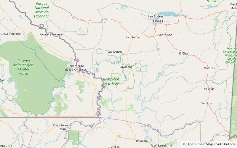
Arroyo de Piedra is a pre-Columbian Maya archaeological site in Guatemala located approximately 2-3 km east/northeast of Dos Pilas and 3 km west of Tamarindito. The site dates to the middle half of the Classic period. While initially a center of some regional importance, with the rise of Dos Pilas, Arroyo de Piedra was subsumed as a secondary center within the Petexbatun region. ()
Address
Dos Pilas
ContactAdd
Social media
Add
Day trips