Chicabal Lake
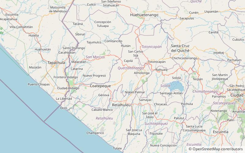
Map

Map

Facts and practical information
Chicabal Lake is a Guatemalan lake sacred to the Mam Mayan people. The lake is located in the municipal boundary of the town of San Martín Sacatepéquez in the department of Quetzaltenango. A crater lake, Chicabal Lake was formed in the crater of Volcán Chicabal at an elevation of 2,712 meters. The terrain surrounding the lake is a cloud forest. ()
Local name: Laguna de Chicabal Width: 1886 ftMaximum depth: 1086 ftElevation: 7884 ft a.s.l.Coordinates: 14°46'60"N, 91°40'0"W
Location
Quezaltenango
ContactAdd
Social media
Add
Day trips
Chicabal Lake – popular in the area (distance from the attraction)
Nearby attractions include: Chicabal, Volcán Siete Orejas, Concepción Chiquirichapa.


