Chimaltenango Travel Guide
Facts and practical information
Nestled in the picturesque highlands of Guatemala, Chimaltenango is a charming city that offers a unique blend of indigenous culture, colonial architecture, and breathtaking natural beauty. Located just a short drive from the bustling capital of Guatemala City, Chimaltenango is a perfect destination for travelers looking to immerse themselves in the rich history and traditions of the region.
One of the main attractions in Chimaltenango is the bustling market, where visitors can browse through a colorful array of handicrafts, textiles, and fresh produce. The market is a great place to interact with the local Mayan communities and witness their traditional way of life. For those interested in history, the city is also home to several colonial-era churches and buildings, such as the San Juan Bautista Church, which dates back to the 16th century.
Nature lovers will be delighted by the stunning landscapes surrounding Chimaltenango. The city is situated near the foothills of the majestic Volcán de Fuego, one of Guatemala's most active volcanoes. Adventurous travelers can embark on a hike to the volcano's summit for a once-in-a-lifetime experience and breathtaking views of the surrounding countryside.
For a taste of authentic Guatemalan cuisine, visitors can sample delicious local dishes such as pepian, a hearty stew made with meat and spices, or tamales, a traditional dish made from corn dough and filled with savory ingredients. Chimaltenango is also known for its vibrant fiestas and religious celebrations, which provide a fascinating glimpse into the cultural heritage of the area.
Region: Chimaltenango
Chimaltenango Attractions - What to See and Explore
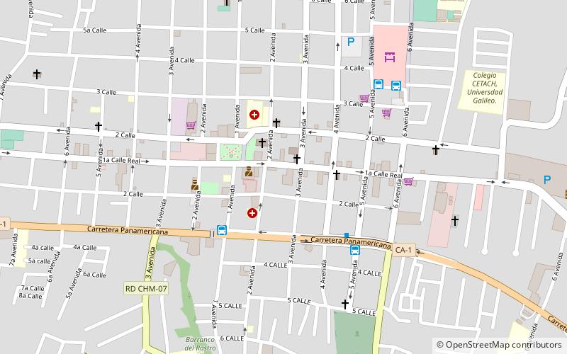
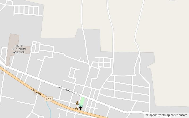
Chimaltenango offers many attractions and places to visit. Here are the most important ones: El Tejar. Below you will find a complete list of places worth visiting.
Best Time To Visit Chimaltenango
Learn when is the best time to travel to Chimaltenango weather-wise and what to expect in each season.