San Andrés Itzapa

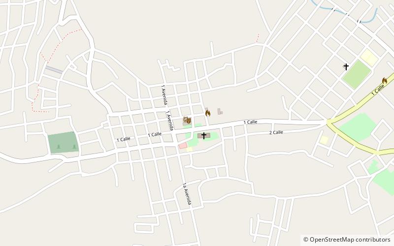
Map
Facts and practical information
San Andrés Itzapa is a town, with a population of 24,992, and a municipality of Chimaltenango, Guatemala. San Andrés Itzapa is in the eastern region of Chimaltenango, while the district capital lies to the north, Acatenango lies to the south and to the east is Parramos. The municipality cover an area of 63.7 km2, with a total population of 32,083. ()
Location
Chimaltenango
ContactAdd
Social media
Add
Day trips
San Andrés Itzapa – popular in the area (distance from the attraction)
Nearby attractions include: El Tejar, Los Aposentos.

