Roxa
Map

Map

Facts and practical information
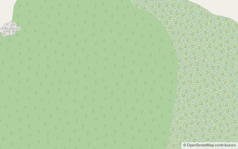
Roxa or Canhabaque is an island in the Bissagos Islands, Guinea-Bissau. It is part of the sector of Bubaque. Its area is 111 square kilometres; it is 20 kilometres long and 11 kilometres wide. The island has a population of 2,478, divided over the villages Ambuduco, Ampucute, Ancanhozinho, Indenazinho, Ancaguine, Ancatipe, Angaura, Indena Grande, Ga-Cote, Inore, Ambena, Bine, Inhoda, Idjoue, Eboco, Meneque, Ancanam, Anghudjiga, Anghumba and Antchurupe. There is a lighthouse on the east side of the island, its focal height is 26 m. ()
Local name: Canhabaque Area: 42.86 mi²Archipelago: Bissagos IslandsCoordinates: 11°14'38"N, 15°43'25"W
Location
Bolama
ContactAdd
Social media
Add
