Cantanhez Forests National Park Travel Guide
Facts and practical information
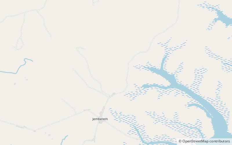
Nestled in the Tombali region of Guinea Bissau, the Cantanhez Forests National Park is a hidden gem waiting to be explored. This national park is a sanctuary for a diverse range of flora and fauna, making it a paradise for nature lovers and wildlife enthusiasts. The lush greenery and towering trees provide a picturesque backdrop for an unforgettable adventure.
The park is home to a variety of wildlife, including chimpanzees, colobus monkeys, and an array of bird species. Visitors have the opportunity to embark on guided tours and wildlife watching excursions, allowing them to observe these magnificent creatures in their natural habitat. The park's diverse ecosystem also includes a network of rivers and streams, adding to the enchanting atmosphere of the surroundings.
For those seeking a more immersive experience, the park offers camping facilities, allowing visitors to spend the night under the starry sky and wake up to the symphony of the forest. The serene ambiance and the opportunity to disconnect from the hustle and bustle of everyday life make this a truly rejuvenating experience.
In addition to its natural wonders, the Cantanhez Forests National Park also holds cultural significance, as it is home to several traditional villages inhabited by the Balanta people. Visitors have the chance to engage with the local community, gaining insight into their way of life and traditions. This cultural exchange adds a unique dimension to the overall experience of exploring the national park.
Tombali
Cantanhez Forests National Park Attractions - What to See and Explore
Cantanhez Forests National Park offers many attractions and places to visit. Here are the most important ones: Melo Island. Below you will find a complete list of places worth visiting.
Best Time To Visit Cantanhez Forests National Park
Learn when is the best time to travel to Cantanhez Forests National Park weather-wise and what to expect in each season.