8 November Bridge, Conakry
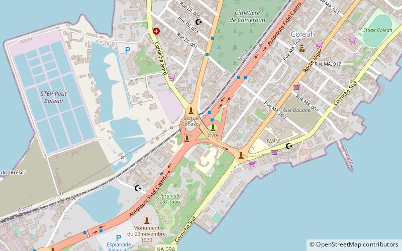
Map
Facts and practical information
The 8 November Bridge is a bridge in Conakry, Guinea. It has strategic significance, given that the bridge cuts the Central Business District off from the rest of the city. During coups the bridge has played an important role. The bridge was built in the 1960s and demolished on 10 March 2012. ()
Coordinates: 9°31'32"N, 13°41'18"W
Address
Conakry
ContactAdd
Social media
Add
Day trips
8 November Bridge – popular in the area (distance from the attraction)
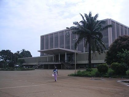
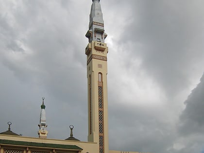
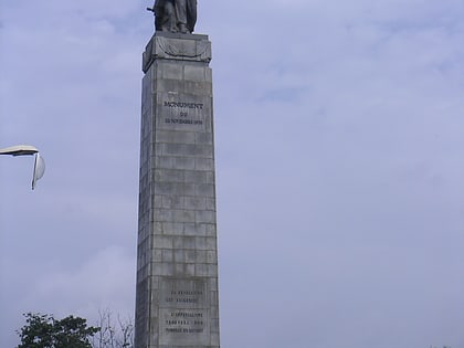
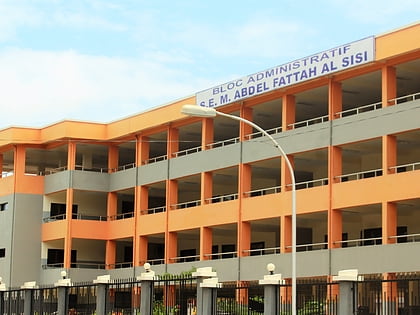
Nearby attractions include: Palais du Peuple, Grand Mosque of Conakry, Monument du 22 Novembre 1970, Gamal Abdel Nasser University of Conakry.
Frequently Asked Questions (FAQ)
Which popular attractions are close to 8 November Bridge?
Nearby attractions include Monument du 22 Novembre 1970, Conakry (9 min walk), Palais du Peuple, Conakry (13 min walk), Grand Mosque of Conakry, Conakry (16 min walk).
How to get to 8 November Bridge by public transport?
The nearest stations to 8 November Bridge:
Bus
Train
Bus
- Donka Autoroute (22 min walk)
- Sig Madina (36 min walk)
Train
- Coléah (24 min walk)
- Portovoya (27 min walk)
