Georgetown Seawall Bandstand, Georgetown
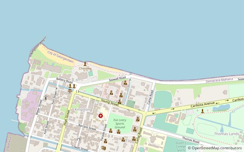
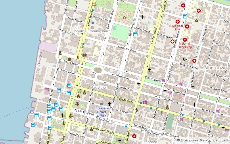
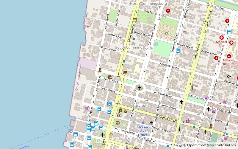
Map
Facts and practical information
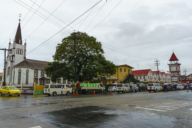
The Georgetown Seawall Bandstand is an iron bandstand that is situated on the western end of Georgetown Seawall in Guyana. It is one of three bandstands in Georgetown, the other two being situated in the Botanical Gardens and the Promenade Gardens. ()
Coordinates: 6°49'31"N, 58°9'32"W
Address
Georgetown
ContactAdd
Social media
Add
Getting there by public transportation
Public transportation stops near this location
- Bus
- Train
 Bus
Bus
- Calculate route45 16 min walk
- Calculate routeIntraserv 18 min walk
- Calculate routeLethem Bus Stop 18 min walk
- Calculate route44 28 min walk
- Calculate routeIntraserv Ticket Office 28 min walk
Day trips


Frequently Asked Questions (FAQ)
Which popular attractions are close to Georgetown Seawall Bandstand?
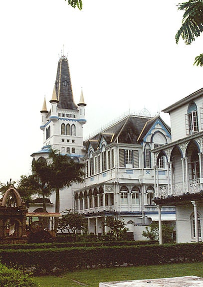
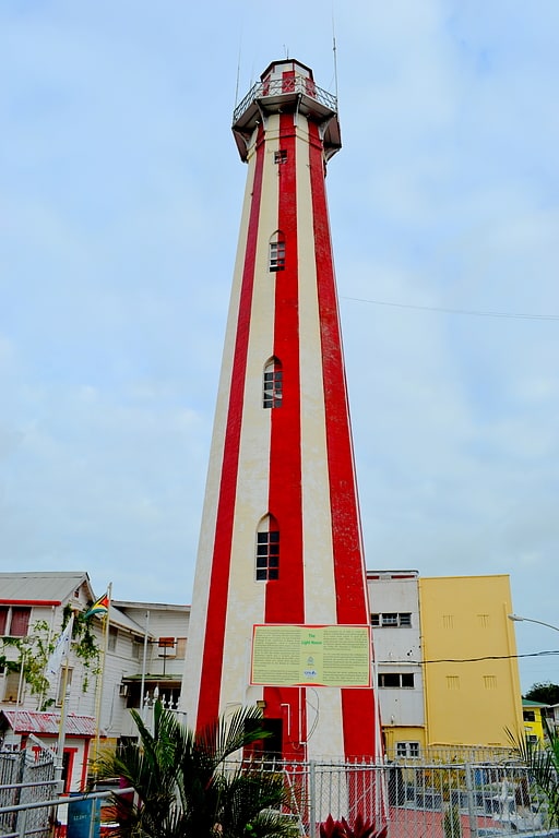
Nearby attractions include Georgetown Lighthouse, Georgetown (10 min walk), State House, Georgetown (15 min walk), Guyana National Park, Georgetown (15 min walk), Walter Roth Museum of Anthropology, Georgetown (17 min walk).
How to get to Georgetown Seawall Bandstand by public transport?
The nearest stations to Georgetown Seawall Bandstand:
Bus
Train
Bus
- 45 (16 min walk)
- Intraserv (18 min walk)
Train
- Intraserv Ticket Office (28 min walk)