Demerara Harbour Bridge, Georgetown
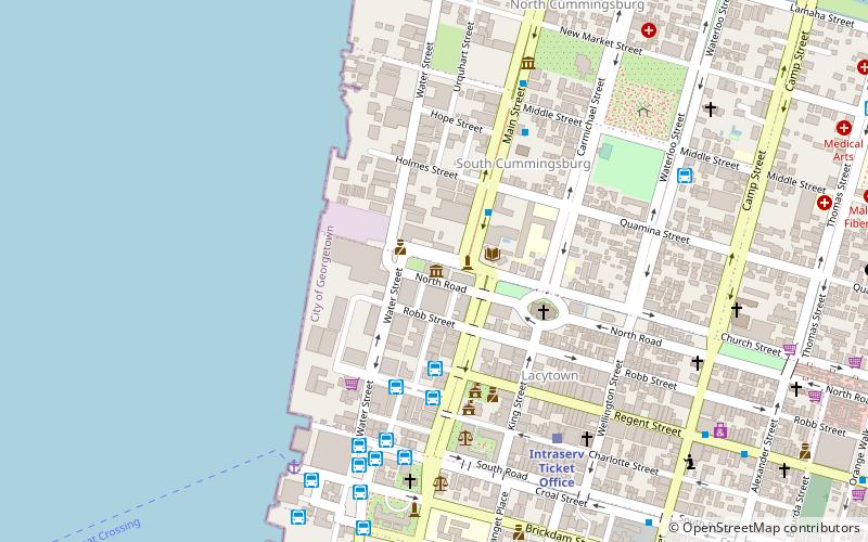
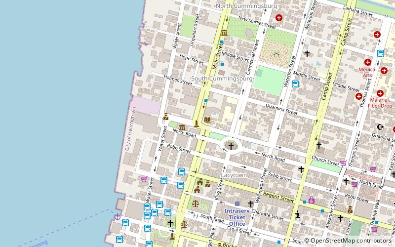
Map
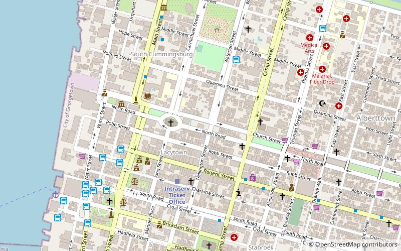
Map

Facts and practical information
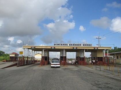
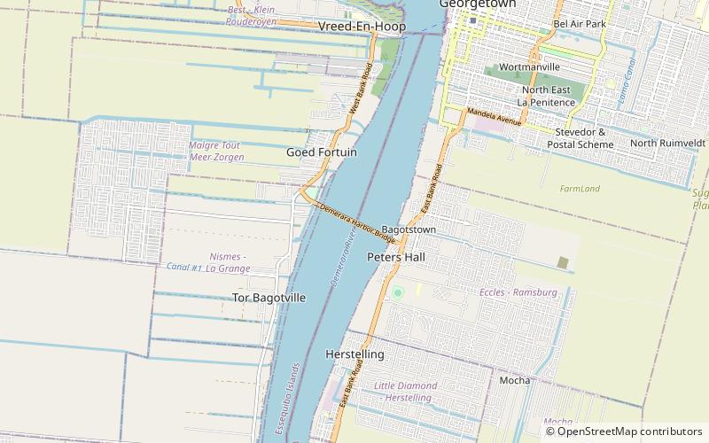
The Demerara Harbour Bridge is a 6,074-foot long floating toll bridge. It was commissioned on 2 July 1978. The bridge crosses the Demerara River 4 miles south of the Guyanese capital Georgetown, from Peter's Hall, Demerara-Mahaica, East Bank Demerara to Schoon Ord, Essequibo Islands-West Demerara, West Bank Demerara. There is a pedestrian footwalk. A raised section lets small vessels pass under. A retractor span lets large vessels pass. ()
Alternative names: Opened: 2 July 1978 (47 years ago)Length: 6073 ftHeight: 26 ftCoordinates: 6°46'17"N, 58°11'11"W
Address
Georgetown
ContactAdd
Social media
Add
Day trips
Demerara Harbour Bridge – popular in the area (distance from the attraction)
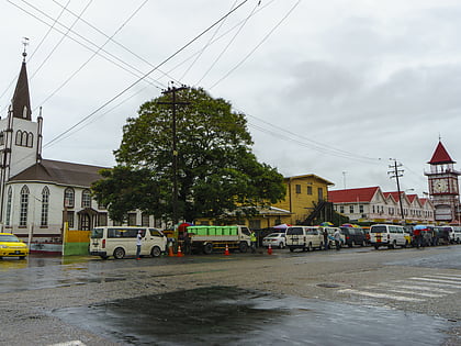
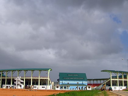
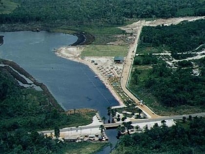
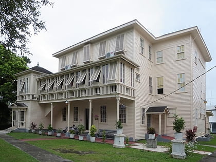
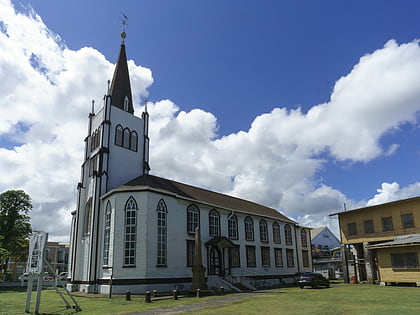
Nearby attractions include: Stabroek Market, Providence Stadium, Splashmins Fun Park, St. George's Cathedral.
