Hispaniolan pine forests
Map

Map

Facts and practical information
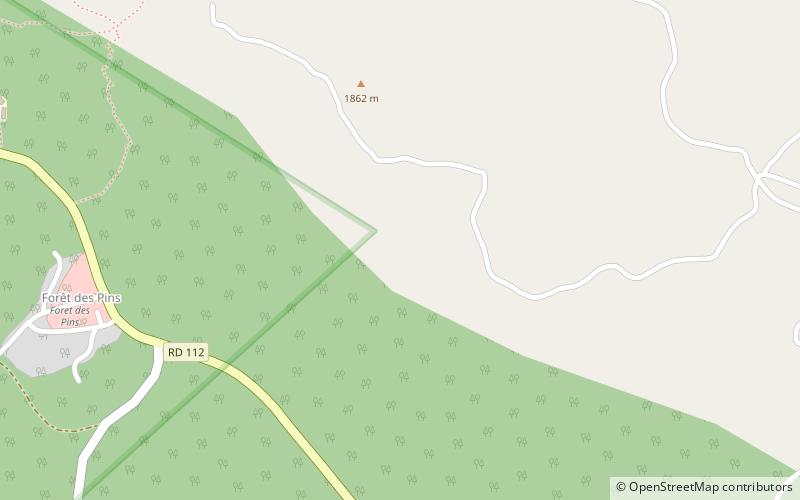
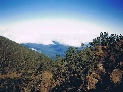
The Hispaniolan pine forests are a subtropical coniferous forest ecoregion found on the Caribbean island of Hispaniola, which is shared by Haiti and the Dominican Republic. The ecoregion covers 11,600 km2, or about 15% of the island. It lies at elevations greater than 800 m in the mountains of Hispaniola, extending from the Cordillera Central of the Dominican Republic and into the Massif du Nord of Haiti. It is surrounded at lower elevations by the Hispaniolan moist forests and Hispaniolan dry forests ecoregions, which cover the remainder of the island. Annual rainfall is 1,000–2,000 mm. ()
Location
Ouest
ContactAdd
Social media
Add
