Capiro Calentura National Park
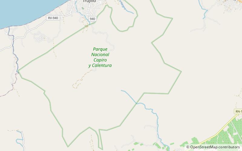
Map

Map

Facts and practical information
Capiro Calentura National Park is a national park in Honduras. It was established in 1992 and covers an area of 81 square kilometres. ()
Local name: Parque nacional Capiro y Calentura Established: 1992 (34 years ago)Area: 19.31 mi²Elevation: 3301 ft a.s.l.Coordinates: 15°52'39"N, 85°56'6"W
Location
Colón
ContactAdd
Social media
Add
Day trips
Capiro Calentura National Park – popular in the area (distance from the attraction)
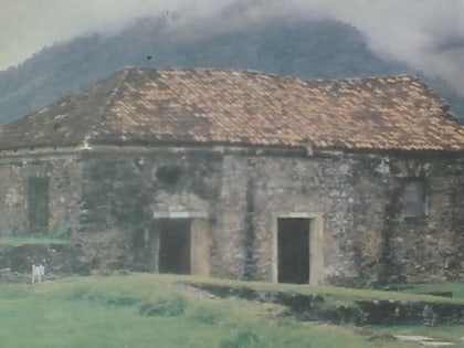
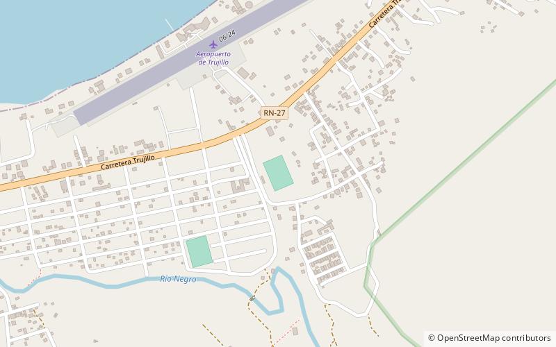
Nearby attractions include: Santa Bárbara Fortress, Estadio Jorge Leonidas García.


