Cerro Azul Meámbar National Park
Map

Map

Facts and practical information
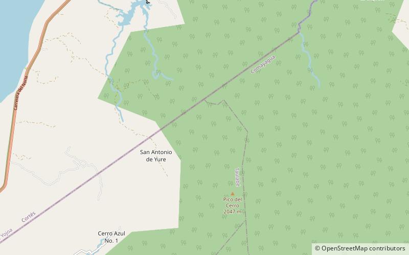
Cerro Azul Meámbar National Park is a national park in Honduras. It was established on 1 January 1987 and covers an area of 300 square kilometres. It has an altitude of between 1,800 and 2,047 metres. ()
Local name: Parque nacional Cerro Azul Meambar Established: 1 January 1987 (39 years ago)Elevation: 4498 ft a.s.l.Coordinates: 14°50'15"N, 87°53'43"W
Location
Comayagua
ContactAdd
Social media
Add
Day trips
Cerro Azul Meámbar National Park – popular in the area (distance from the attraction)
Nearby attractions include: Lake Yojoa.

