Jeannette Kawas National Park, Punta Izopo Wildlife Refuge
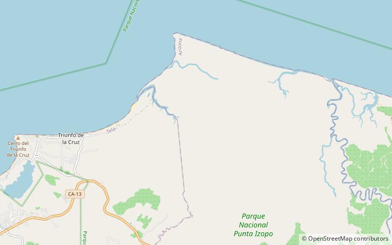
Map

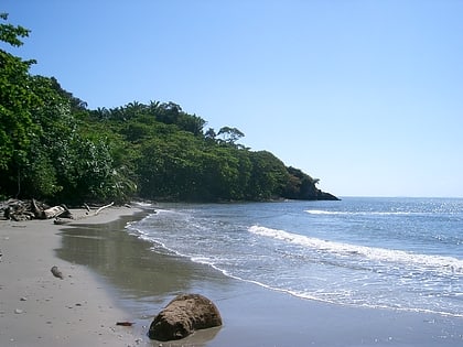
Gallery

Facts and practical information
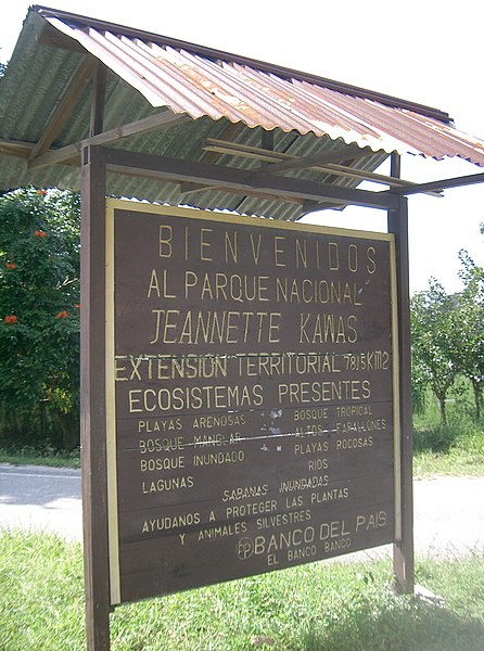
Jeannette Kawas National Park is a national park located in the municipality of Tela, on the northern Caribbean coast of the Atlántida department of Honduras, established on 4 November 1994. The park covers an area of 781.62 square kilometres and has an altitude of 900 metres. The park was created and is managed by the PROLANSATE foundation. ()
Local name: Parque nacional Jeanette Kawas Established: 1994 (32 years ago)Area: 301.78 mi²Coordinates: 15°49'6"N, 87°22'3"W
Address
Punta Izopo Wildlife Refuge
ContactAdd
Social media
Add
Day trips
Jeannette Kawas National Park – popular in the area (distance from the attraction)
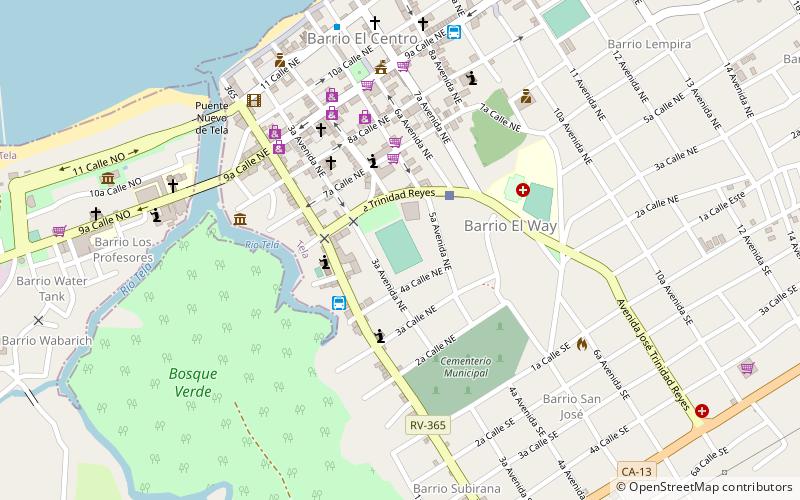
Nearby attractions include: Estadio León Gómez.

