Pico Bonito National Park
Map

Map

Facts and practical information
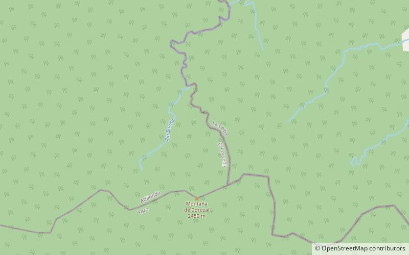
Pico Bonito National Park is a national park in Honduras. It was established on January 1, 1987 and covers an area of 564.30 km2. It has an altitude ranging between 60 and 2,480 meters. ()
Local name: Parque nacional Pico Bonito Established: 1 January 1987 (39 years ago)Area: 414.29 mi²Elevation: 5276 ft a.s.l.Coordinates: 15°34'52"N, 86°52'20"W
Location
Atlántida
ContactAdd
Social media
Add
Best Ways to Experience the Park
Wildlife
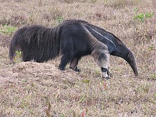
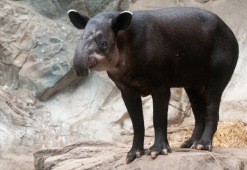
AnimalsSee what popular animal species you can meet in this location.
More
Show more


