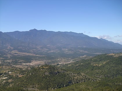
Celaque National Park, Gracias
Facts and practical information
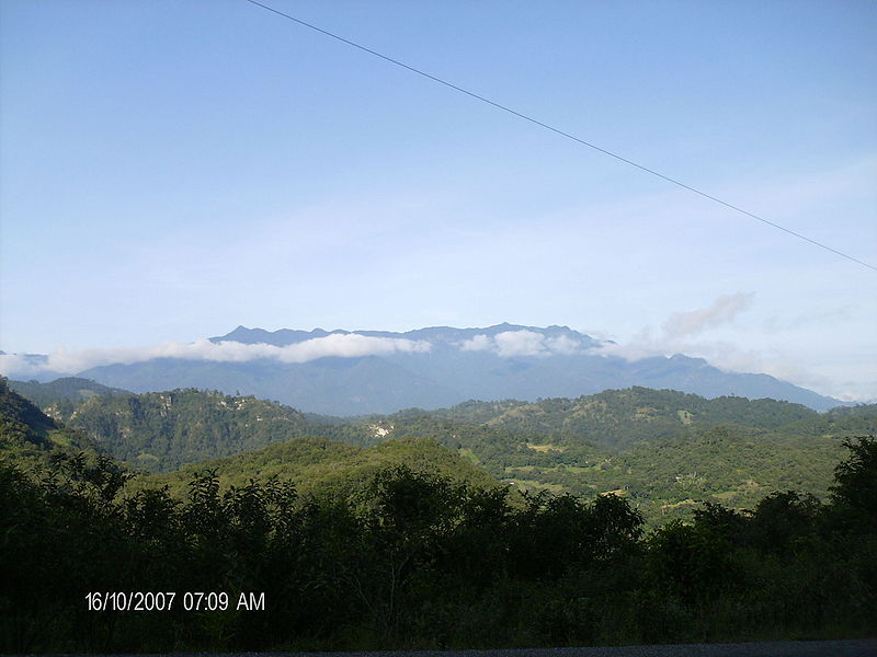
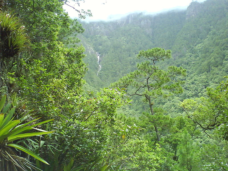
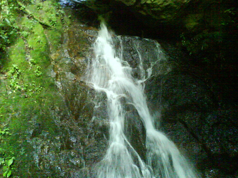
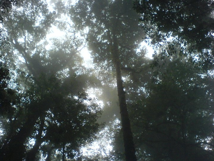
Celaque National Park is a national park in Lempira Ocotepeque and Copán, western Honduras. It was established on 5 August 1987 and covers an area of 266.31 square kilometres. It includes Honduras’ tallest peak, called Cerro Las Minas or Pico Celaque, which reaches approximately 2,870 metres above mean sea level. It has an elevation ranging from 975 to 2,870 metres. Celaque’s terrain is very rugged, two-thirds of the area has a slope greater than 60 degrees. The park is classified as a cloud forest with a mean precipitation of 1,600 mm at lower altitudes and a mean of 2,400 mm at higher altitudes. The word celaque is reputed to mean caja de aguas in the local, but now extinct, indigenous Lenca language. Celaque’s nine rivers supplies water to 120 villages nearby including the district capital of Gracias. Celaque is high in biodiversity and is home to pumas, ocelots and Bolitoglossa celaque, an endangered plethodontid salamander found only in the mountains of Celaque. ()
Celaque National Park – popular in the area (distance from the attraction)
Nearby attractions include: Cerro Las Minas.


