Zugló, Budapest
Map
Gallery
Facts and practical information
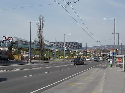
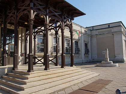
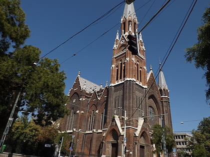
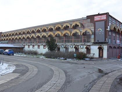
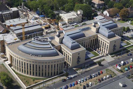
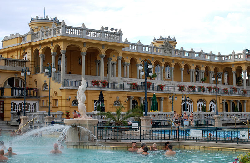
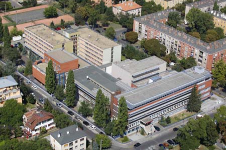
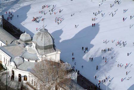
Zugló is the official name of the 14th district of Budapest, the capital of Hungary. It is a large and mixed neighborhood, with communist era style highrise apartments sprinkled between decently kept one house residential streets. Városliget, the City Park is located at the western part of the district. Its popularity comes from the fact that it has leafy suburb style neighbourhoods closest to the city center. ()
Day trips
Zugló – popular in the area (distance from the attraction)
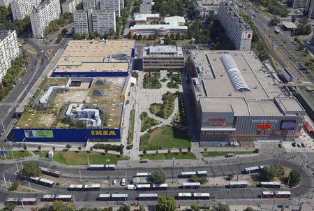
Nearby attractions include: Vajdahunyad Castle, City Park, Arena Plaza, László Papp Budapest Sports Arena.
Frequently Asked Questions (FAQ)
Which popular attractions are close to Zugló?
Nearby attractions include Geological Museum, Budapest (18 min walk), László Papp Budapest Sports Arena, Budapest (19 min walk), Hermina Galéria, Budapest (19 min walk), Millenáris Sporttelep, Budapest (20 min walk).
How to get to Zugló by public transport?
The nearest stations to Zugló:
Trolleybus
Bus
Train
Tram
Metro
Trolleybus
- Szugló utca / Róna utca • Lines: 82 (5 min walk)
- Tisza István tér • Lines: 82 (8 min walk)
Bus
- Amerikai út • Lines: 110, 112, 7, 907, 907A, 979 (7 min walk)
- Tisza István tér • Lines: 108E, 110, 110E, 112, 133E, 7, 8E, 907, 907A, 979 (8 min walk)
Train
- Zugló (9 min walk)
- Rákosrendező (33 min walk)
Tram
- Egressy út / Hungária körút • Lines: 1, 1M (11 min walk)
- Zugló vasútállomás • Lines: 1, 1M (11 min walk)
Metro
- Puskás Ferenc Stadion • Lines: M2 (22 min walk)
- Mexikói út • Lines: M1 (25 min walk)



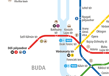 Metro
Metro

