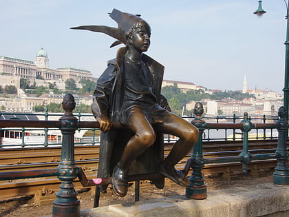
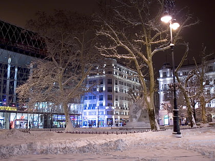
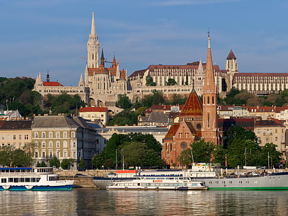
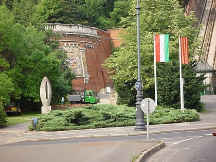
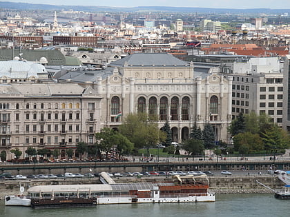
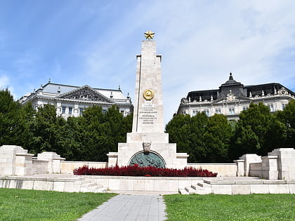
Park of Széchenyi István tér, Budapest
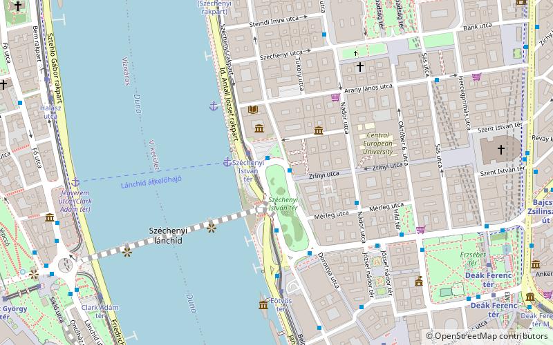

Facts and practical information
Park of Széchenyi István tér (address: Széchenyi István tér) is a place located in Budapest (Budapest capital city) and belongs to the category of park, relax in park.
It is situated at an altitude of 367 feet, and its geographical coordinates are 47°30'1"N latitude and 19°2'49"E longitude.
Planning a visit to this place, one can easily and conveniently get there by public transportation. Park of Széchenyi István tér is a short distance from the following public transport stations: Széchenyi István tér (bus, 1 min walk), Széchenyi István tér (tram, 2 min walk), Vörösmarty tér (metro, 8 min walk), Clark Ádám tér (train, 10 min walk), Kossuth Lajos tér M (trolleybus, 11 min walk), Batthyány tér (light rail, 16 min walk).
Among other places and attractions worth visiting in the area are: Akadémia utca (street, 1 min walk), Inner City (neighbourhood, 2 min walk), Széchenyi Academy of Literature and Arts (park, 3 min walk).
Park of Széchenyi István tér – popular in the area (distance from the attraction)
Nearby attractions include: St. Stephen's Basilica, Chain Bridge, Shoes on the Danube Bank, Budapest Castle Hill Funicular.
Frequently Asked Questions (FAQ)
Which popular attractions are close to Park of Széchenyi István tér?
How to get to Park of Széchenyi István tér by public transport?
Bus
- Széchenyi István tér • Lines: 105, 178 (1 min walk)
- Zrínyi utca • Lines: 115, 15 (4 min walk)
Tram
- Széchenyi István tér • Lines: 2, 2M (2 min walk)
- Eötvös tér • Lines: 2, 2M (5 min walk)
Metro
- Vörösmarty tér • Lines: M1 (8 min walk)
- Deák Ferenc tér • Lines: M1, M2 (9 min walk)
Train
- Clark Ádám tér (10 min walk)
- Szent György tér (12 min walk)
Trolleybus
- Kossuth Lajos tér M • Lines: 70, 78 (11 min walk)
- Báthory utca / Bajcsy-Zsilinszky út • Lines: 70, 78 (15 min walk)
Light rail
- Batthyány tér • Lines: H5 (16 min walk)
- Margit híd, budai hídfő • Lines: H5 (29 min walk)

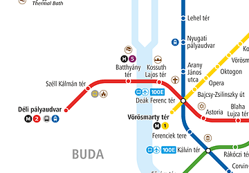 Metro
Metro


